On Sunday, July 31 a wild fire started up at the west end of KooKooSint Ridge about 8 miles east of the small western Montana town of Thompson Falls at about 3:00 PM. In the first few hours it grew to 200 acres.
Meanwhile, a close friend was working with a contingent of volunteers on the restoration of the lookout cabin on Big Hole Peak which is located about three miles from the fire and directly down wind from it. At about 5:00 the restoration crew was evacuated from the lookout so my friend (who had hiked up to work in the morning) had the pleasure of another three mile hike back down to the staging area and return to the valley leaving most of his equipment behind.
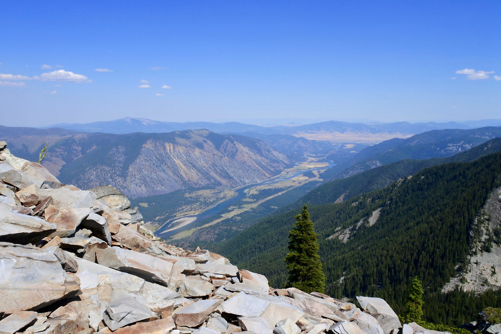
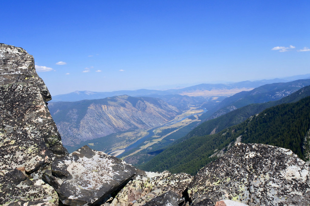
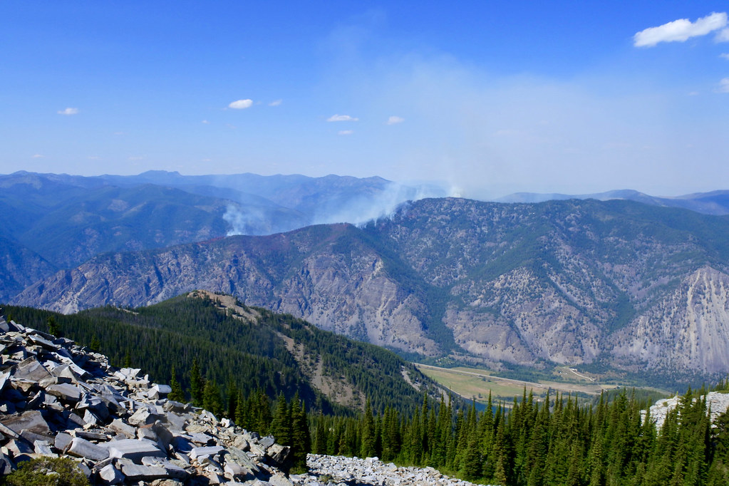
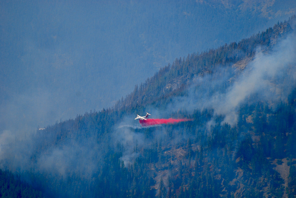
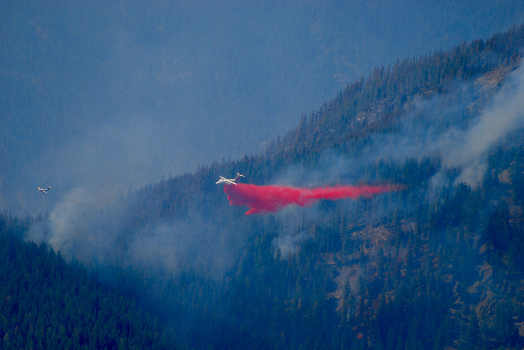
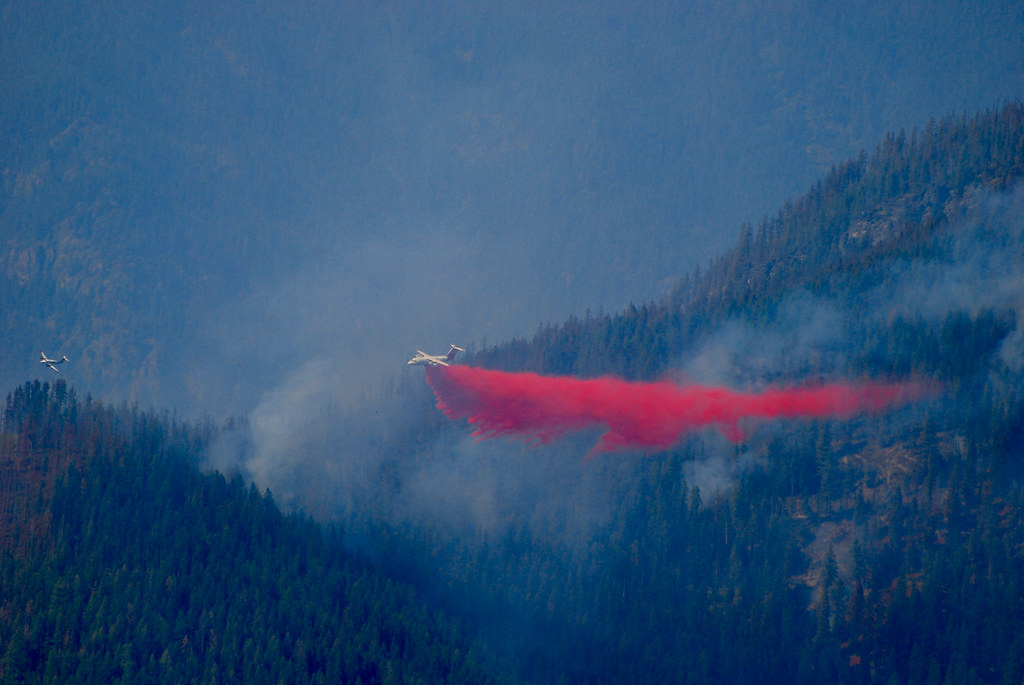
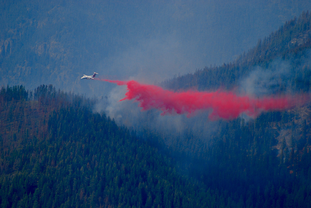
On Monday morning the Forest Service sent a crew by helicopter up to the Big Hole Lookout to retrieve all of the equipment and wrap the cabin with fire resistant material. By then the fire had grown to 700 acres. While we had nothing much else to do we decided to see if we could go get a good look at the fire, and made the drive up to the Eddy Peak lookout which is on the other side of the Clark Fork Valley about two miles due south of the fire. That lookout is manned and has a road up to about half a mile from the lookout itself. We arrived at the tower just in time to see an air tanker drop its entire load of retardant on the fire. I had barely enough time to change my camera to a telephoto lens before the retardant run began. It was a great opportunity for a few photos and a rare opportunity to photograph a big air tanker run from above. (The fire was at an elevation of about 5500 feet and the Eddy Peak lookout sits at about 7000 feet.) The photos of the tanker run were taken from the lookout tower.
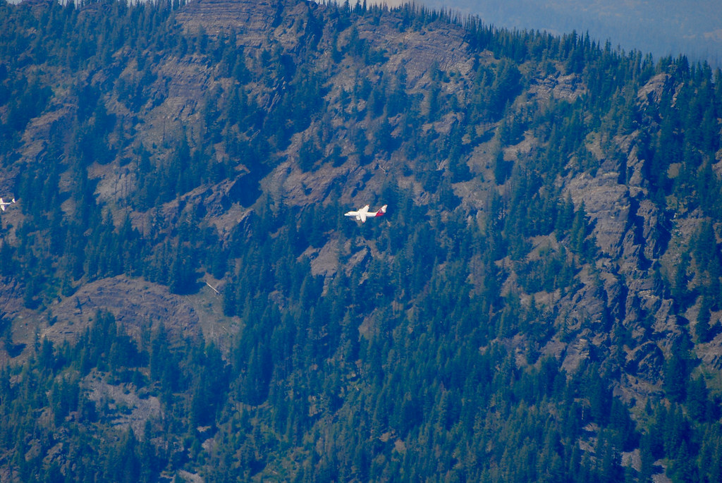
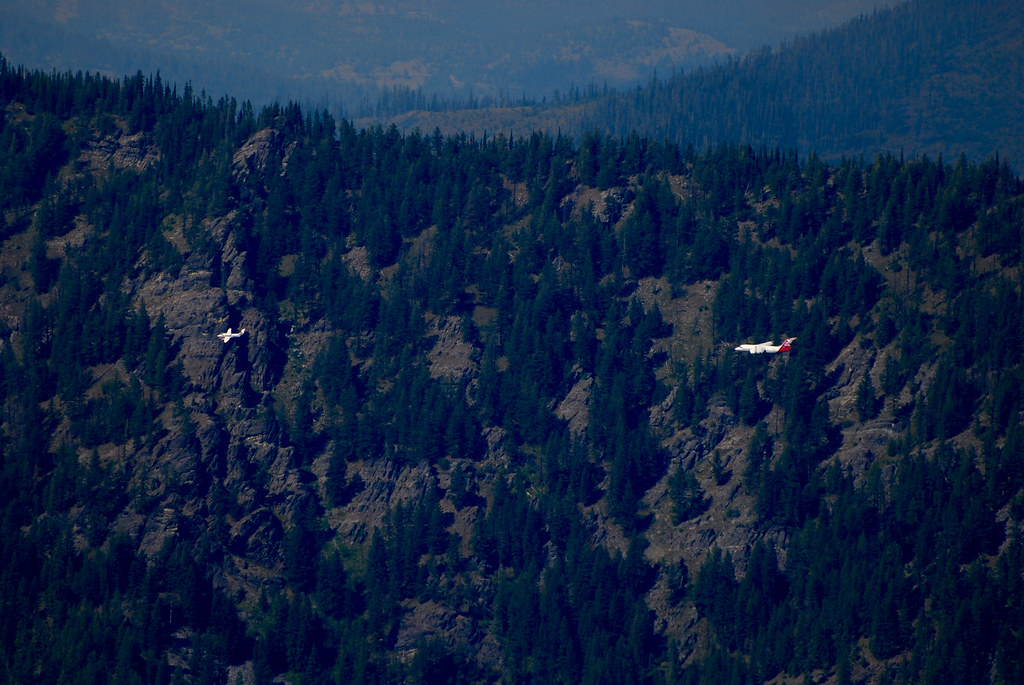
The air tanker is a four engine jet I believe to be owned by Neptune Aviation in Missoula Montana and it’s a BAe 146 (#02) aircraft which carries a load of 3000 gallons of retardant (about twelve tons).
Photos from the base of the Eddy Peak lookout overlooking the Clark Fork Valley:
Sequence of photos of the air tanker retardant run:
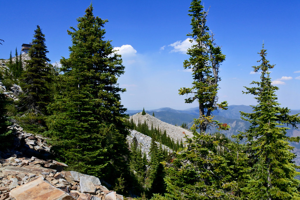
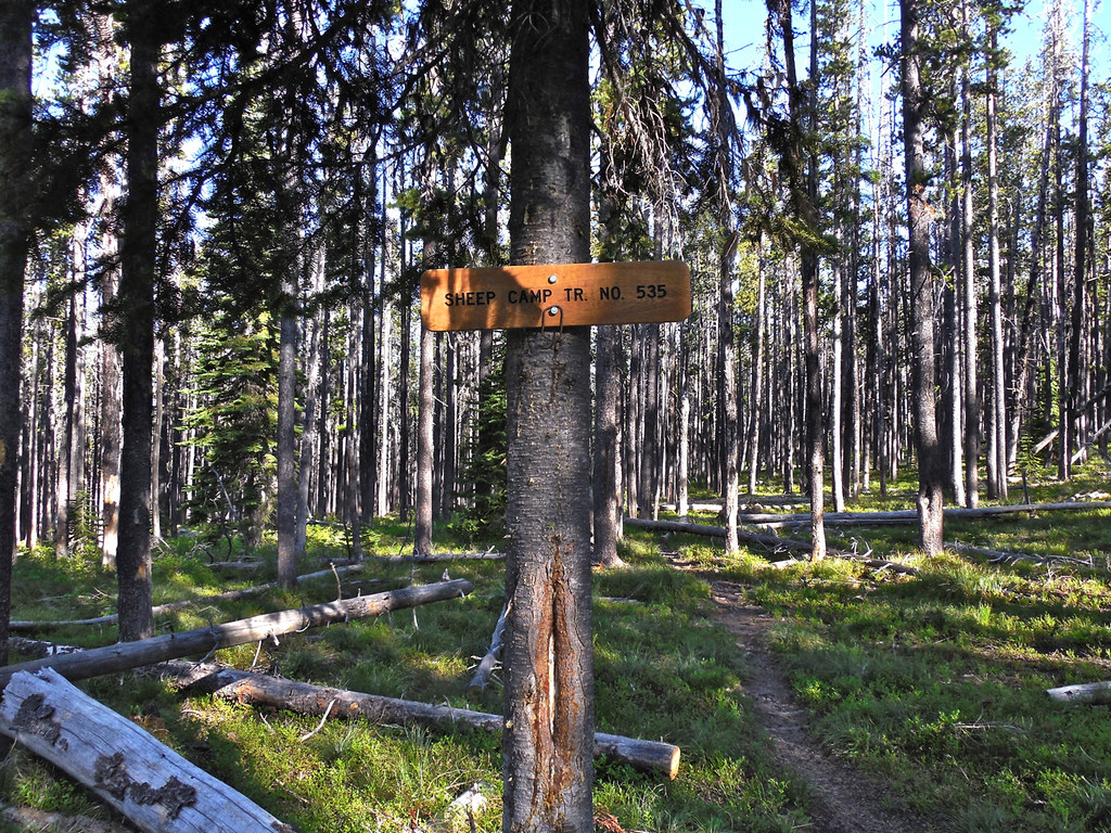
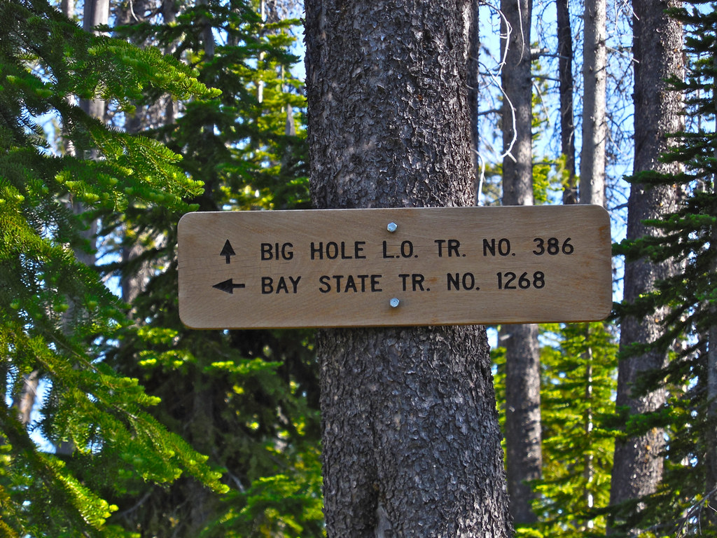
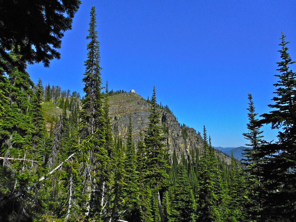
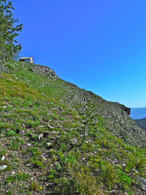
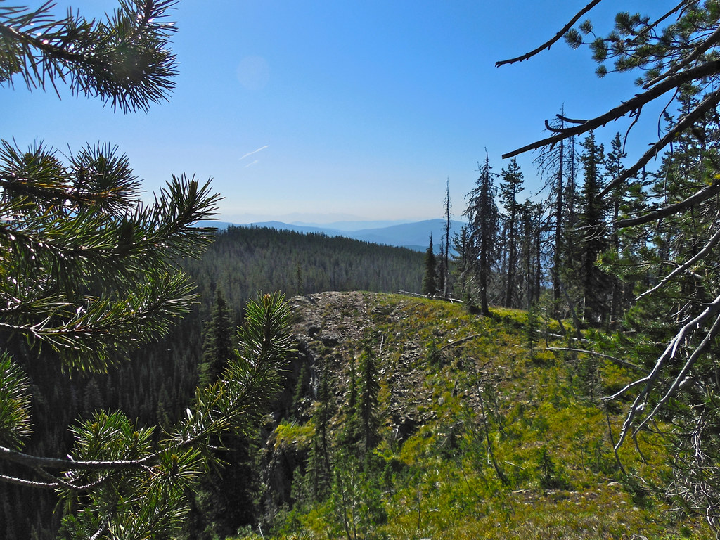
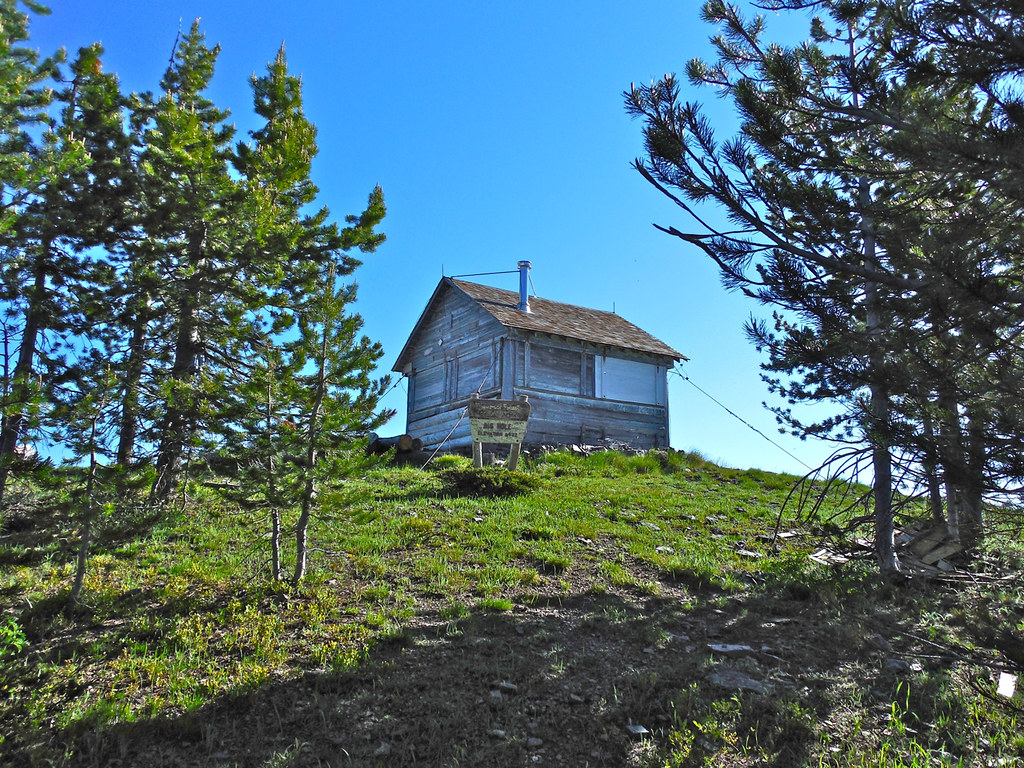
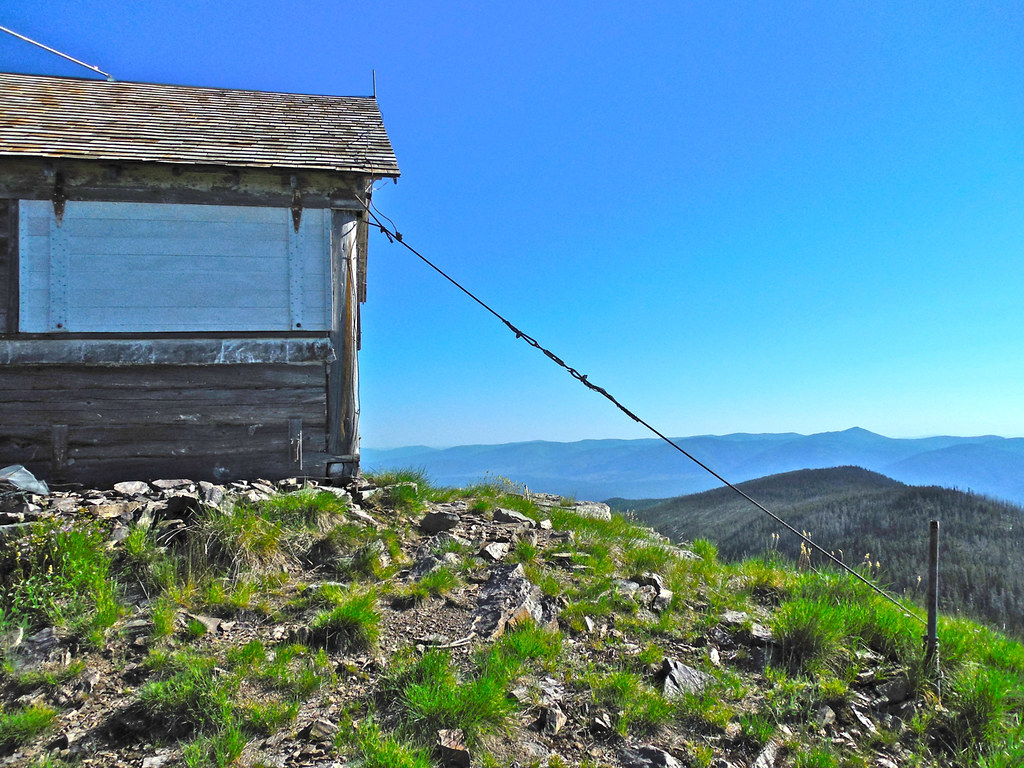
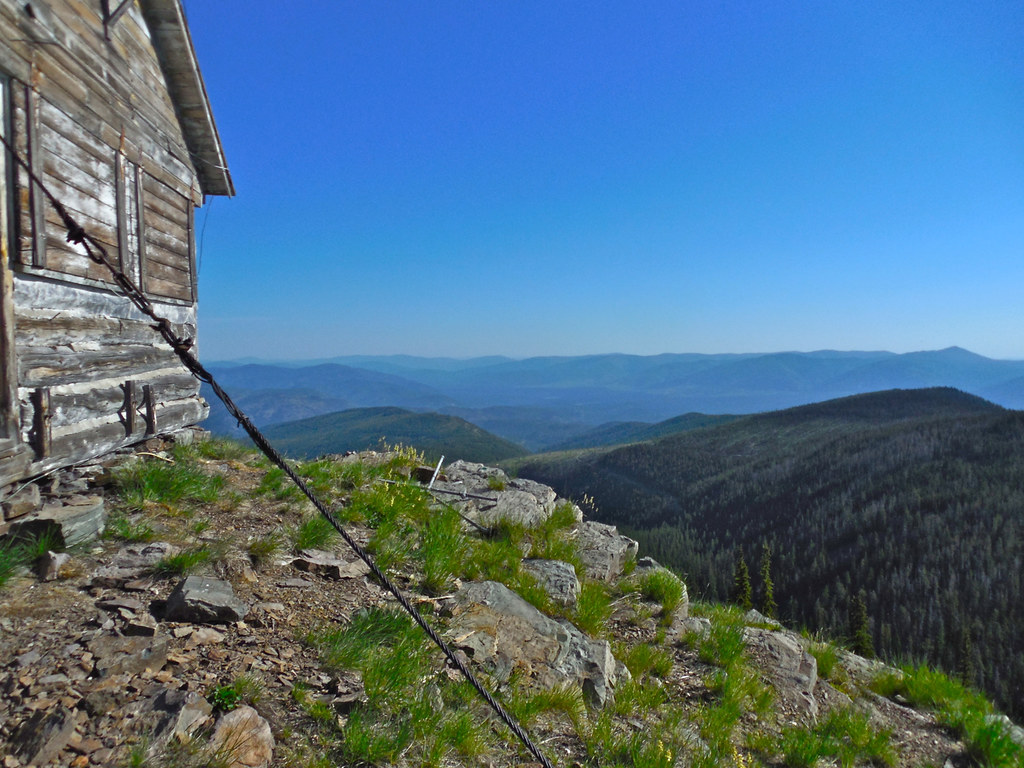
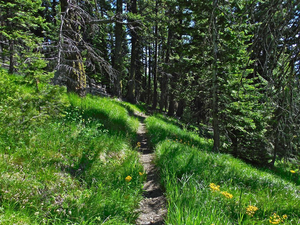
Every summer I visit the old fire lookout near Big Hole Peak in the Cabinet Mountains of western Montana. The trail to it is good (USFS trail 368) and it’s a pleasant hike of only about 2.7 miles to the lookout. The elevation of Highway 200 is about 2400 feet; the elevation of the trail head is 5500 feet and the elevation at the lookout is 6922 feet. The old cabin is undergoing a restoration so it may be used as a rental for summer visitors who will enjoy some nice long distance views during their stay there. Deer, elk, possibly a moose, cougar, and black bears may be encountered on the road to the trail head or on the trail itself.
To reach the trail head, turn onto the Weeksville Creek road (USFS road 887) from Montana Highway 200, about six miles west of the town of Plains Montana. Then at about 3 miles turn left on USFS road 5587 and take it ten miles at which point it forks and both forks are closed by gates for the protection of wildlife. The trail head for 368 is right there. There is adequate parking for horse trailers before the gates. It is a single track road that is quite narrow in places but there are plenty of wider places where you can pass another vehicle. It is rocky (not muddy) and not a lot of fun to drive on when it’s icy or snow-covered.
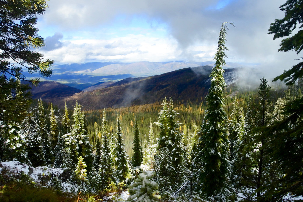
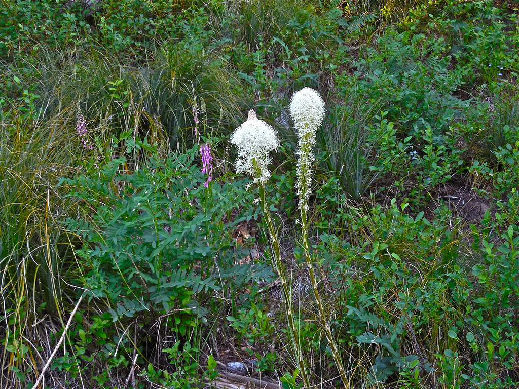
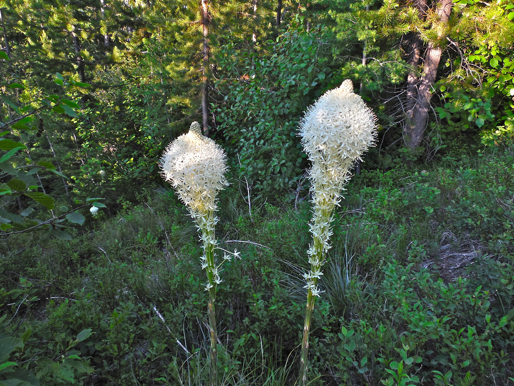
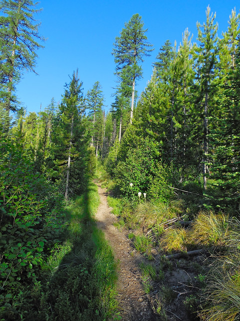
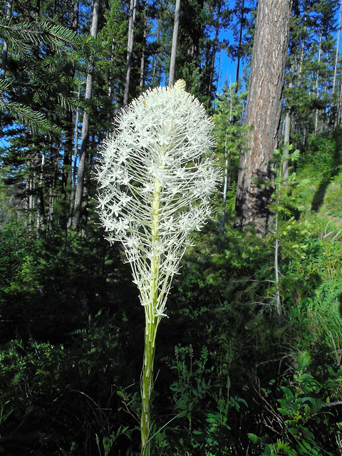
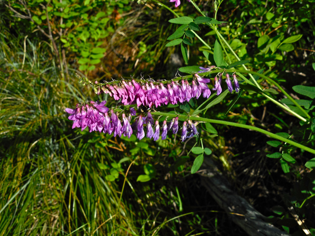
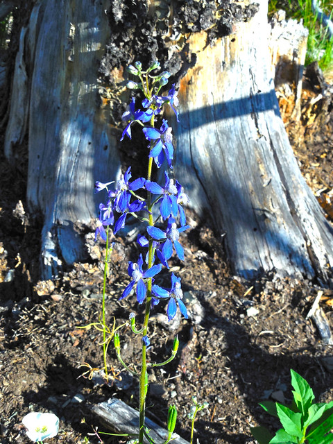
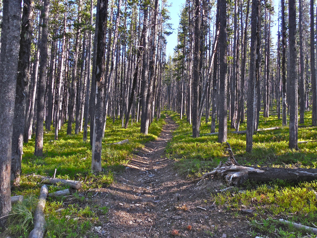
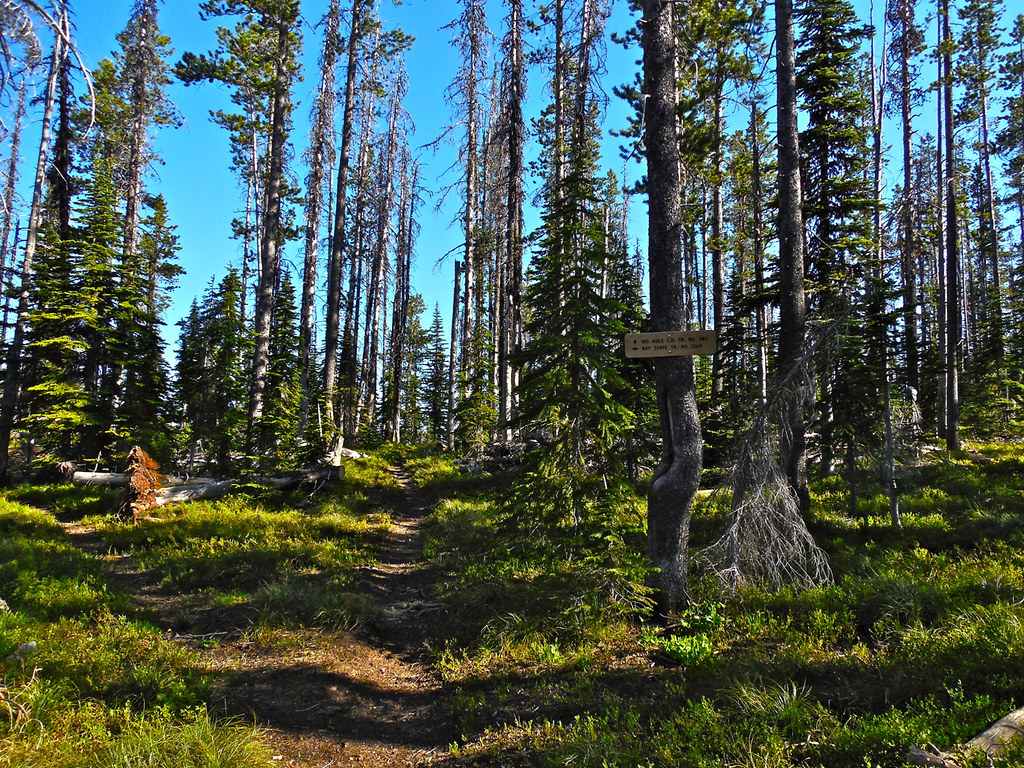
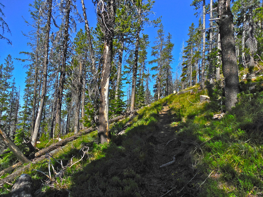
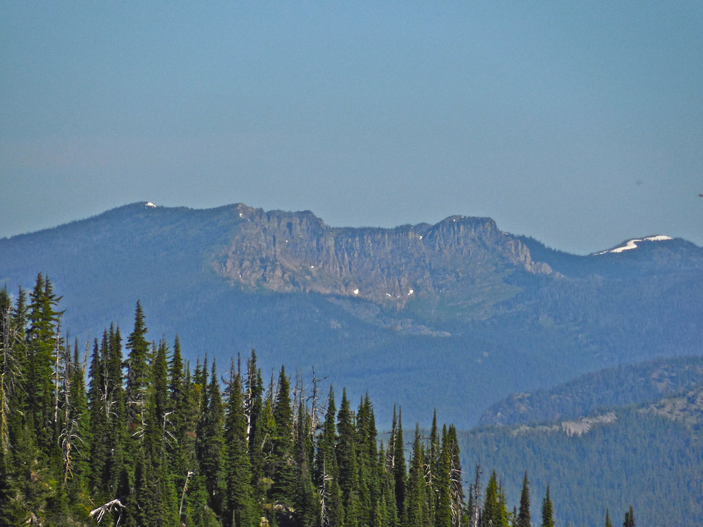
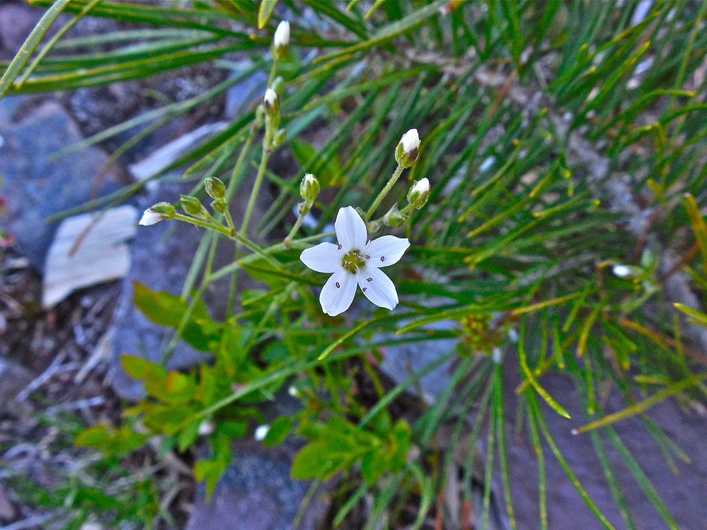
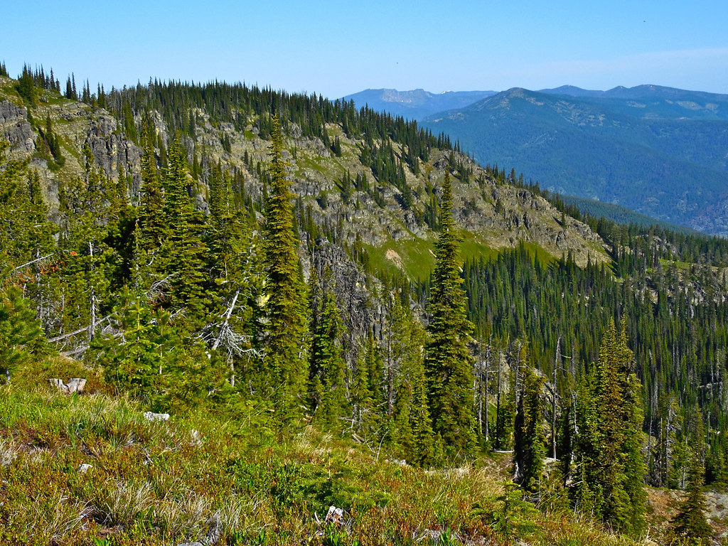
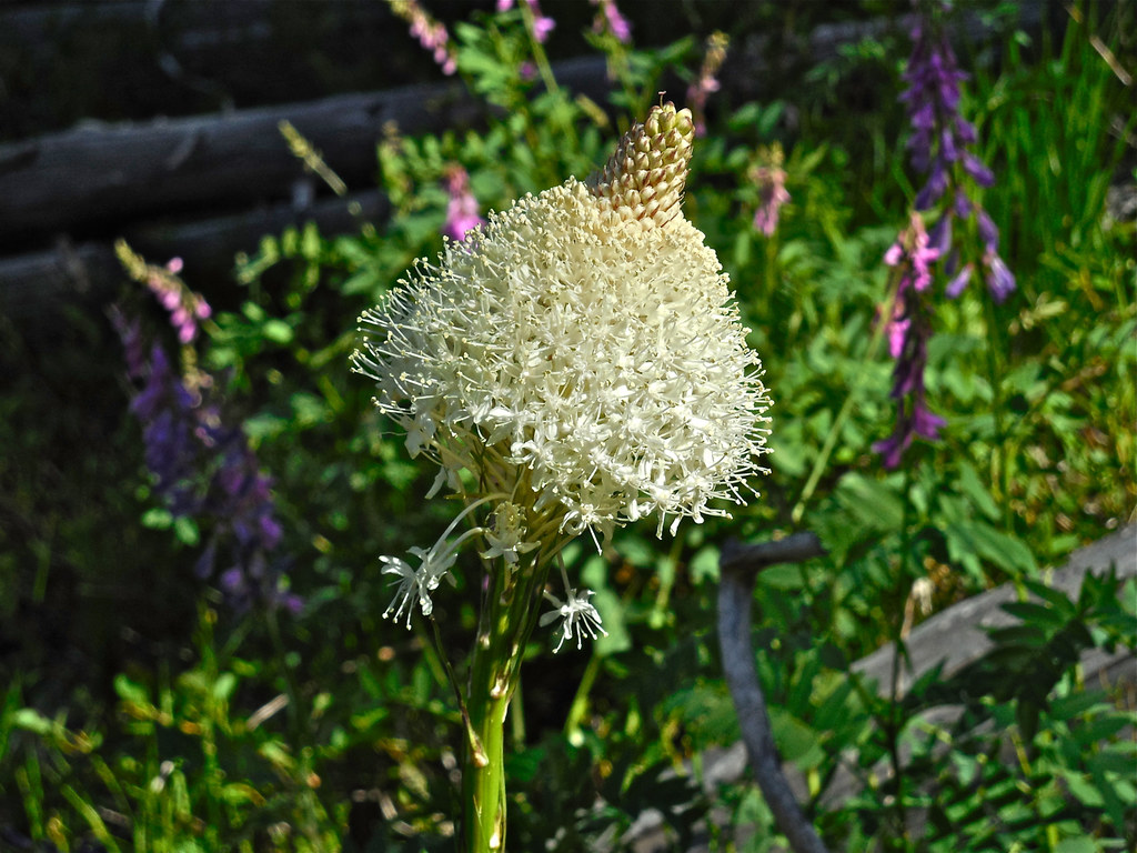
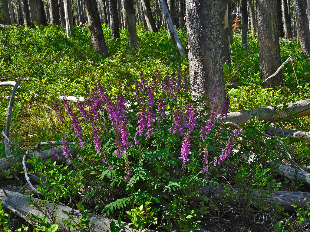
Following are some photos of the trail, wildflowers along the trail, scenery and the lookout taken on June 11, 2015.
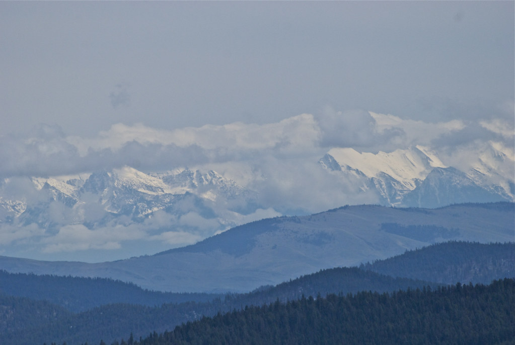
My effort to reach the trail head for Big Hole Peak Sunday was stopped by a couple of feet of snow on the road at about 6000 feet, but en route, this view of the Mission Mountains made the attempt worthwhile. I like the perspective of seeing that range from a high elevation at a distance of about 55 miles.