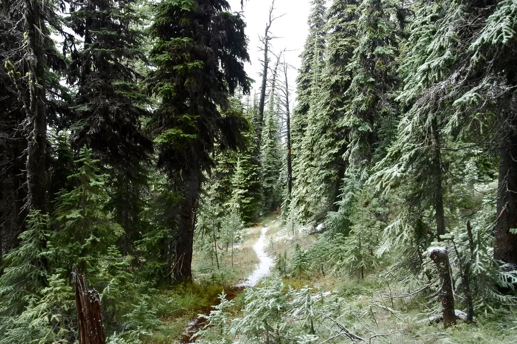
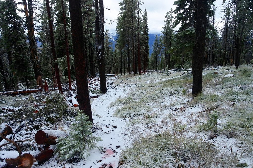
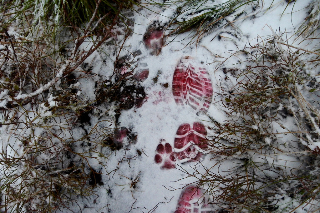
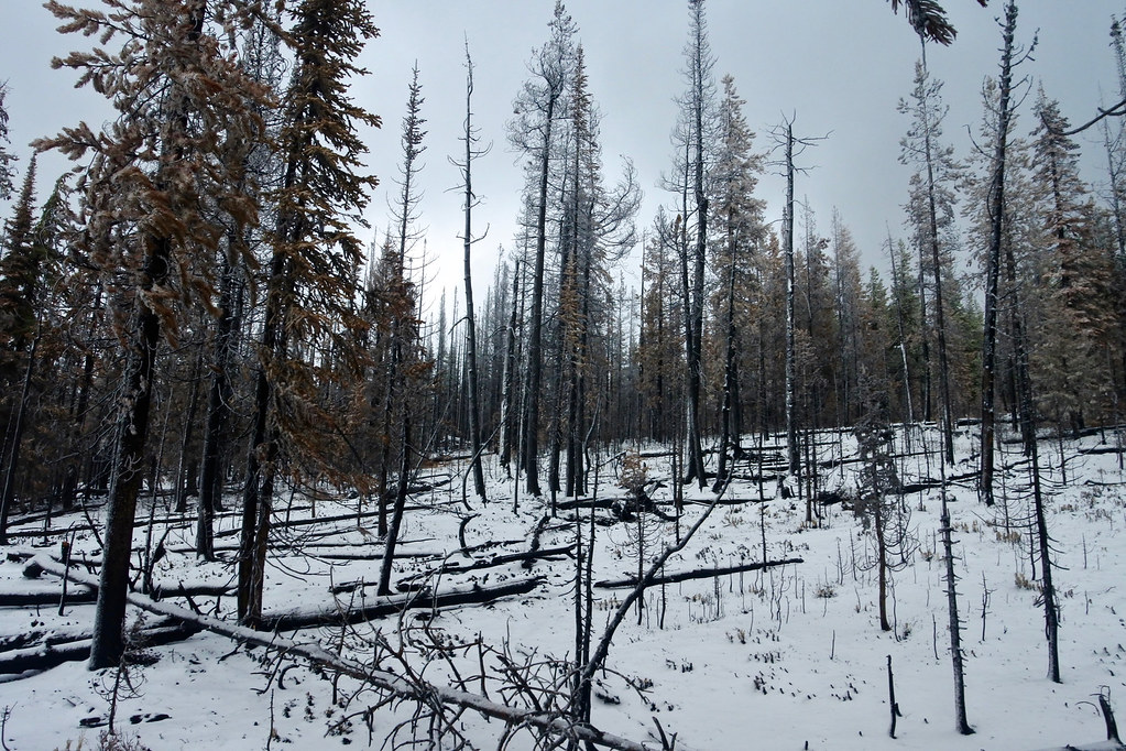
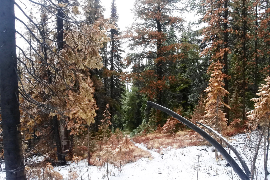
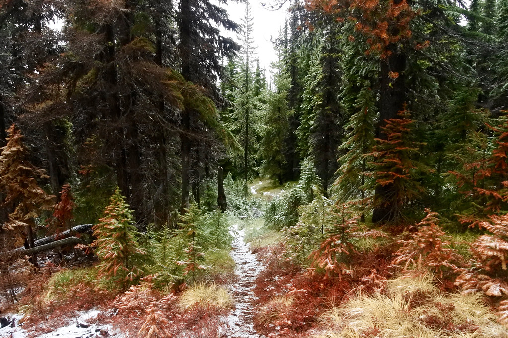
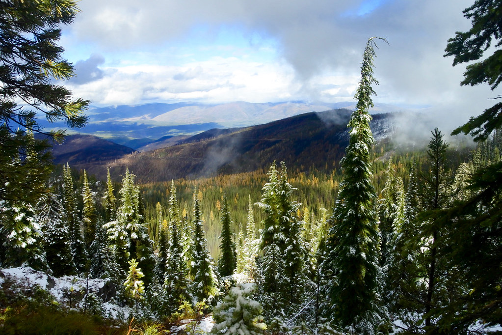
After leaving the Big Hole Lookout, we hiked due west on the Bay State Creek trail (USFS trail 1268). The first two photos were taken of the trail in the first mile west of the lookout through what is still virgin timber that remains after the fire. The third was perhaps another half mile just before encountering the burn area of the fire where it crossed the ridge on its way north. There must have been a lot of retardant dropped along that edge of the fire, first noticeable when I saw my boot tracks turn red as they pressed the snow down into some of the remaining retardant.
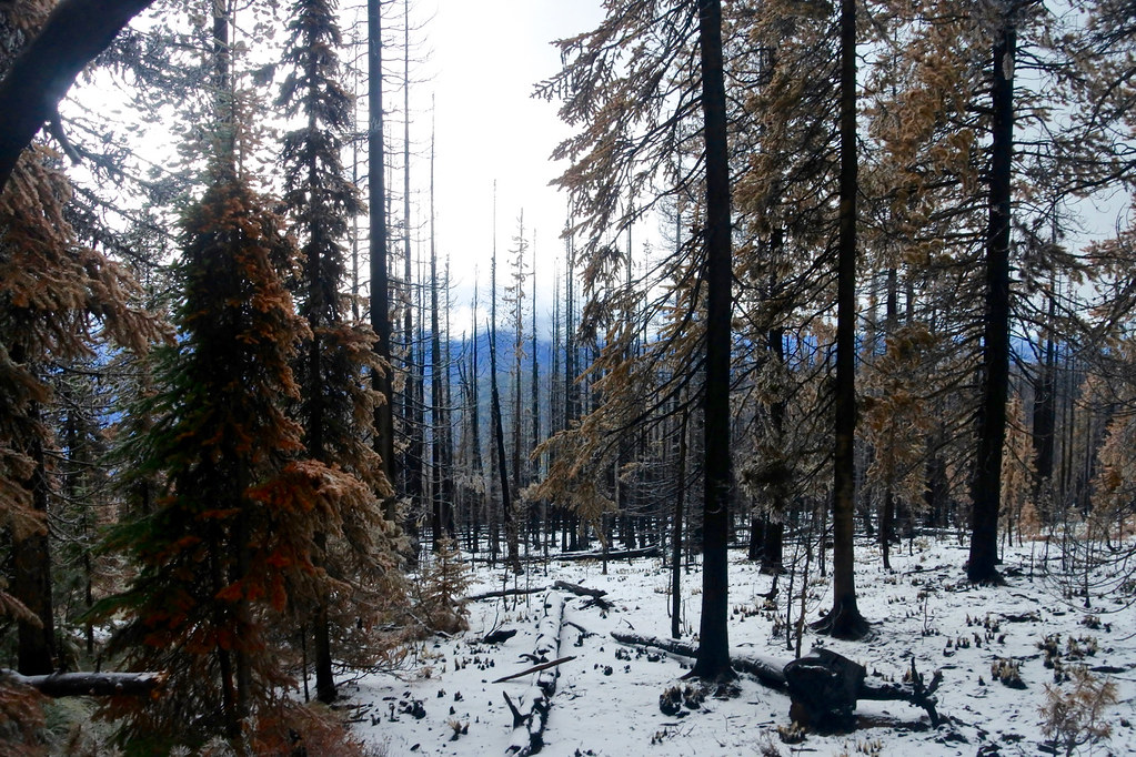
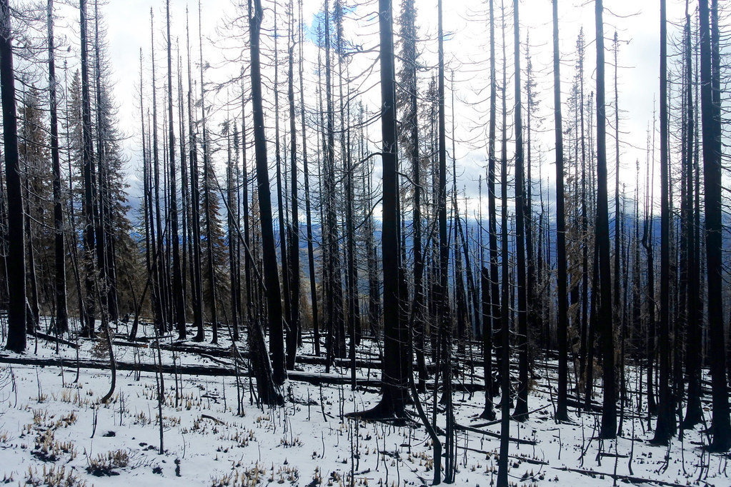
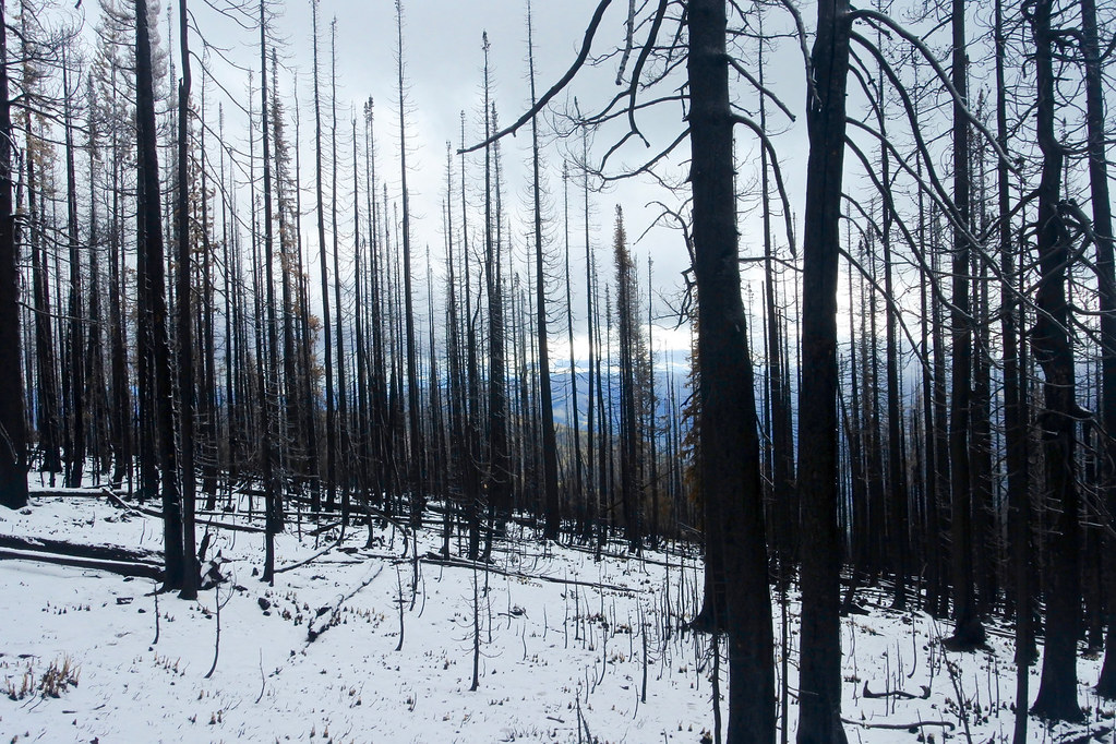
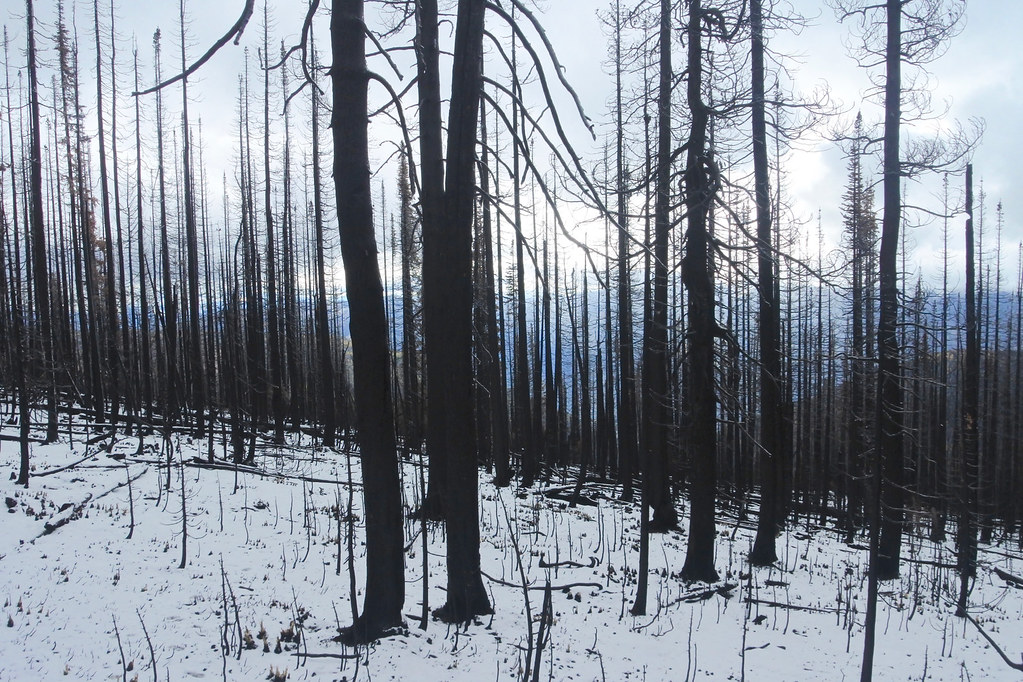
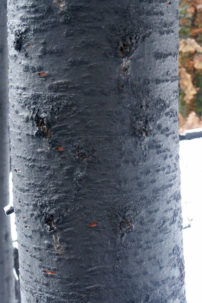
On one of the days in the early part of the fire the weather produced a very strong south wind that pushed the fire to the north across the ridge. Before seeing the area I had thought that we would encounter a huge burned area extending far to the west. Instead, there was a swath of no more than about a quarter of a mile wide that must have looked like a huge blow torch when he fire burned through. That wind may well have saved the lookout and a lot of devastation to the east of it because it must have pushed the fire through that swath so fast that it burned practically nothing on either side until it went over the ridge, sparing the forest on either side. The transition from untouched forest to completely burned timber was an area of only perhaps 30 yards. The next 7 photos were taken within that area.
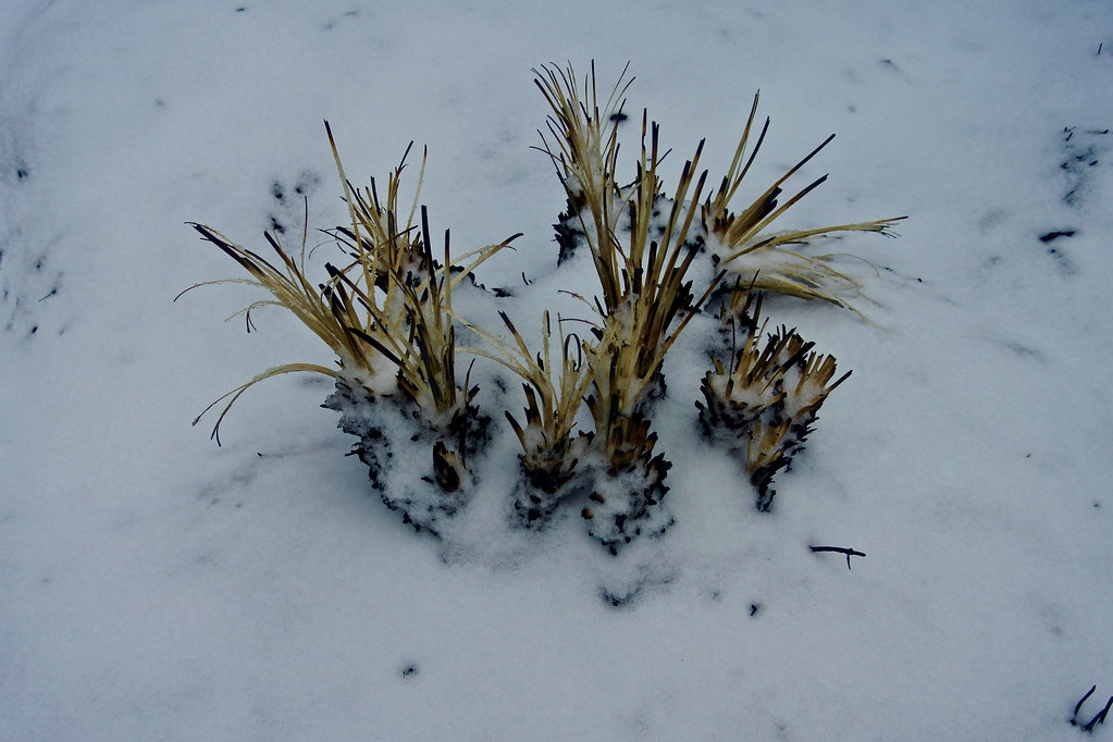
I took many more pictures as we walked through the burn, but they all looked the same. One last step in the severe part of the burn, then about ten more and suddenly we were in completely untouched timber again. The last two photos show the short transition from the burned area back to virgin forest to the west of it. At that point we had just enough time remaining to hike back to the trail head before dark. I still hope to be able to make one more trip up there before the deep snow comes just to hike a couple more miles to the west and see what the fire may have done that far west.