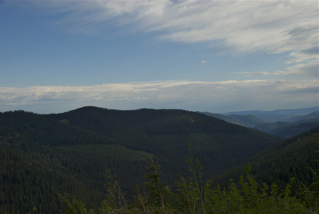
Photo was taken on August 24, 2012 from USFS trail 541 between Cougar Peak and Graves Peak in the Cataract roadless area looking toward the Seven Point Mountain area.
Sometimes when Nature wants you to see something, She shines a light on it, as She did this little lake that has no name. It sits about 800 feet below Graves Peak, two miles north of the Cougar Peak Lookout.
Early in July a friend suggested a trek to a mountain peak (Graves Peak) to which neither of us had been and I thought it a great suggestion. Unfortunately, we did not make the trip as we planned, but in mid July I set out to do it alone. This is a series of photos of my effort, a very pleasant excursion even though I did not reach the peak that day. Starting from Vermillion Pass, the route would involve about three miles by mountain bike on an old logging road followed by a hike of a mile or two to the top of Graves.
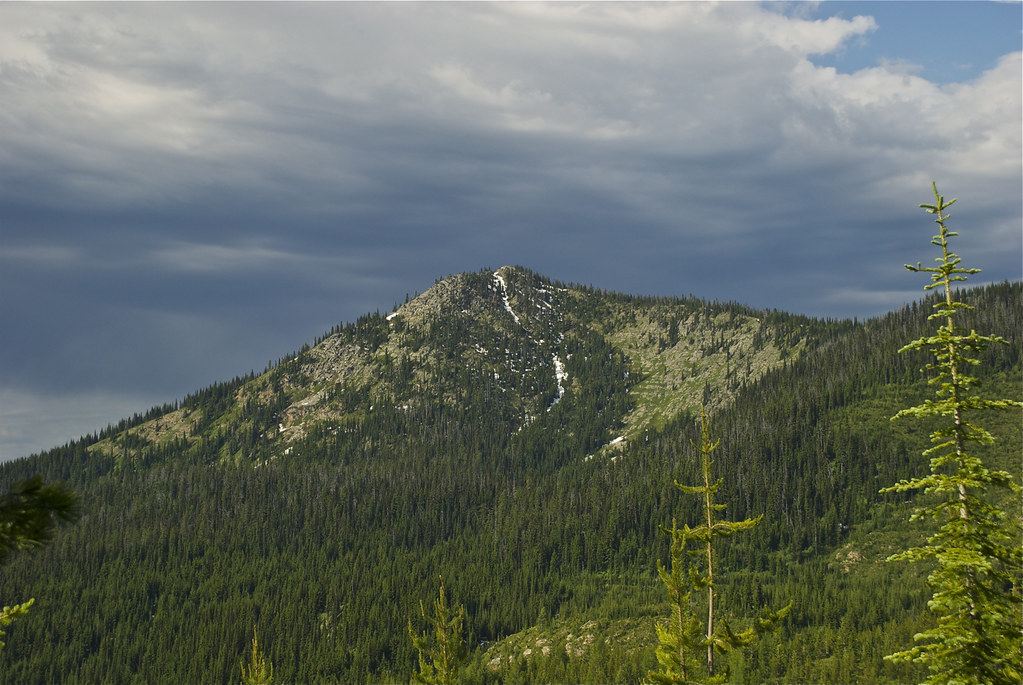
Graves Peak in the distance.
Vermilion Peak, photographed from Vermilion Pass.
The road north of Vermilion Pass sill had snow banks along it.
Vermilion Pass: a little storm could be seen in the offing.
Scenery to the north of Vermilion Pass.
The start of the old logging road.
This was typical of the old road: it had not been maintained for many years and small firs have gotten a good start in reclaiming it. In other places it was necessary to push through thick growths of Alders.
Graves Peak from the start of the trail.
The turn-back point; snowed out! This would be the start of a mile or two of fairly steep trail, but with that much snow on the trail and moderately heavy rain beginning to come down, the rest of the trip was postponed for another day. (I didn’t get this darned old by being completely foolhardy!)