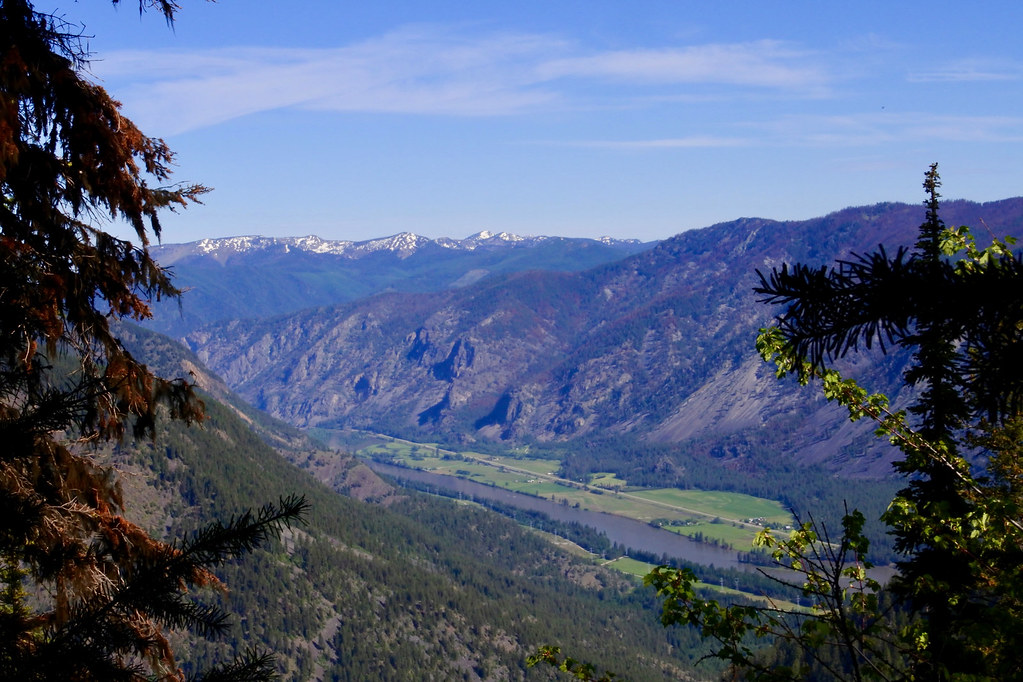
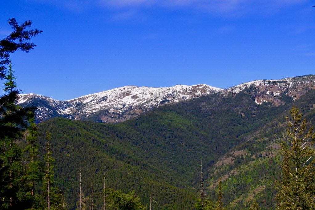
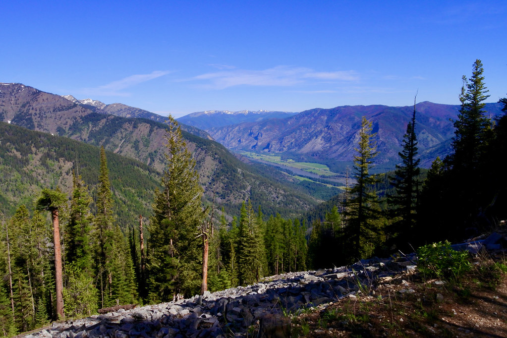
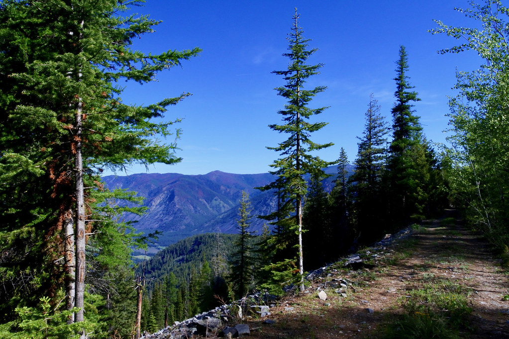
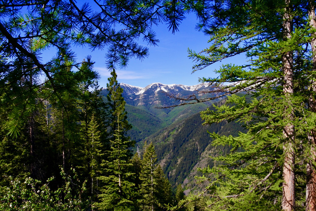
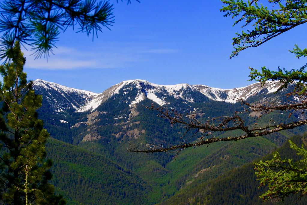
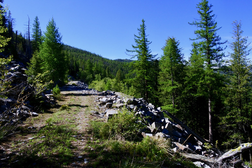
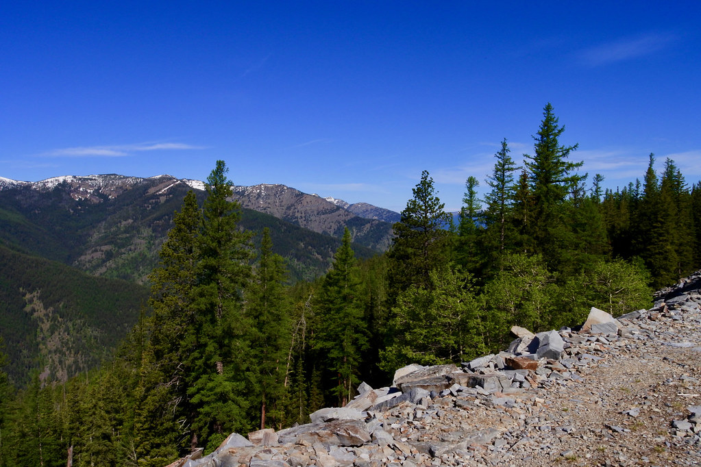
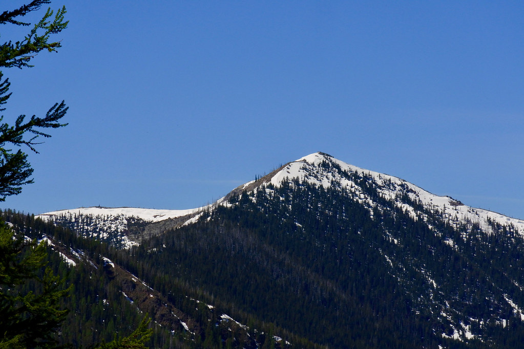
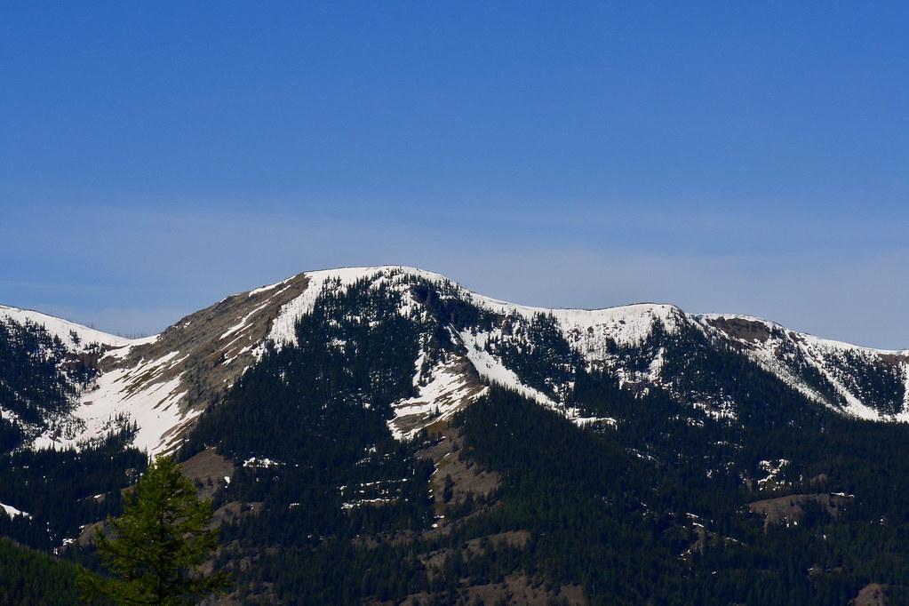
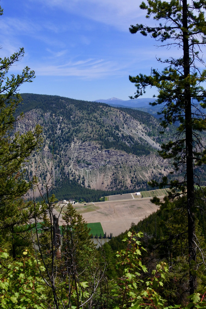
For a change from all of the flower photos that I have posted lately, here are a few scenery shots taken on today’s hike into the Coeur d’Alene Mountains on the south side of the Clark Fork River. The taller peaks are all over 7,000 feet in elevation and are inside the 57 square mile Cherry Peak Roadless Area, one of my favorite places. Access to the edge of the roadless area is a Forest Service road that can be driven for about 10 miles at which point the remainder is closed by a gate for wildlife protection but open to foot or horse traffic. These photos were taken from that road as I hiked about 4 miles up it to get a good open look at the peaks from an elevation of about 5,500 feet: the valley below is at an elevation of about 2,400 feet. This is very wild country and so you are never sure of just what you might meet or see.