May 21, 2015
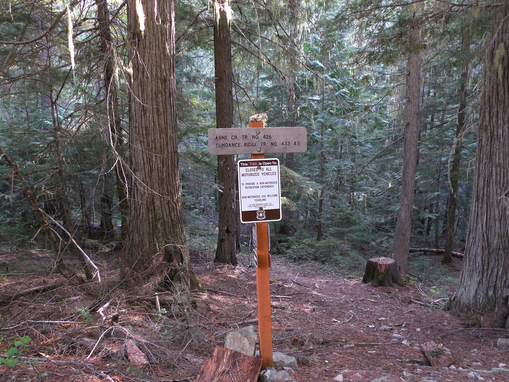
Anne Creek Trail 426
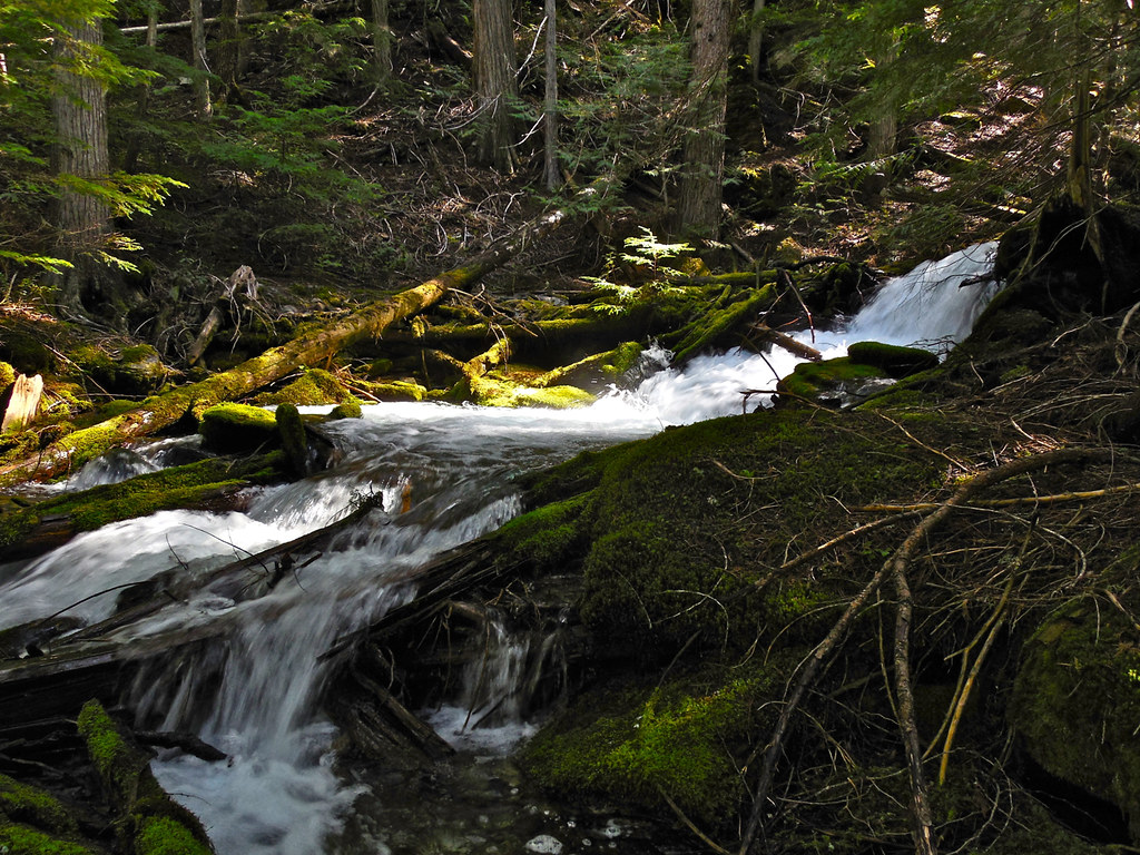
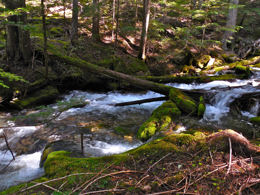
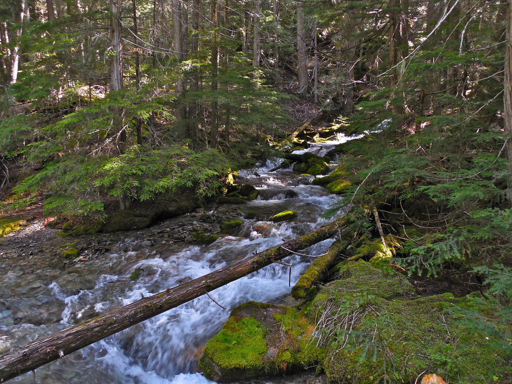
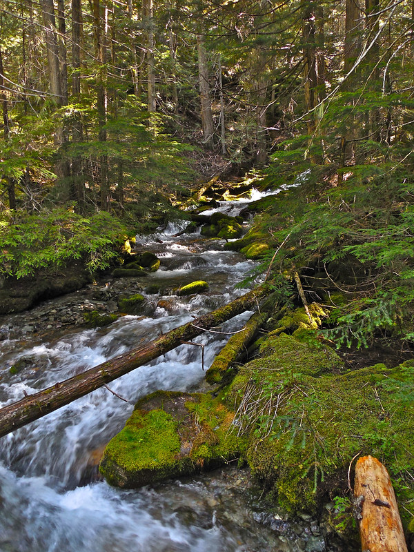
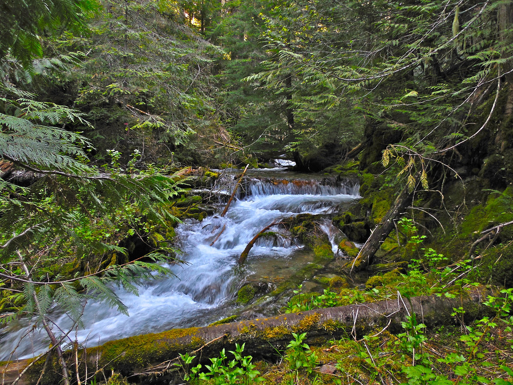
On Monday I did a little exploring on what was a very old trail that had once been discontinued. It is near the area of a rather large wildfire last summer and the fire crews apparently sawed it out to use to access the fire. It is in a very remote and rugged area. Now it has been added back on the USFS trail inventory and I know it will take me to a peak that I have wanted to visit for years. I made it over the first two stream crossings on foot bridges which were put in place by the fire crews, but I turned back (for now) at the third because it had to be forded and I was not prepared for that. I am posting a bunch of photos for those interested in seeing a bit of very wild, very rugged and beautiful forest back country. Later in the summer I will make the entire trip from the west fork of Thompson River road to Sundance Ridge.
The photos are posted in a ragged fashion, grouped by the first stream crossing, a couple of the trail, the second stream crossing, a photo of the third crossing, and a big series of scenes from along the trail.
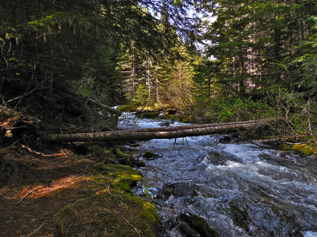
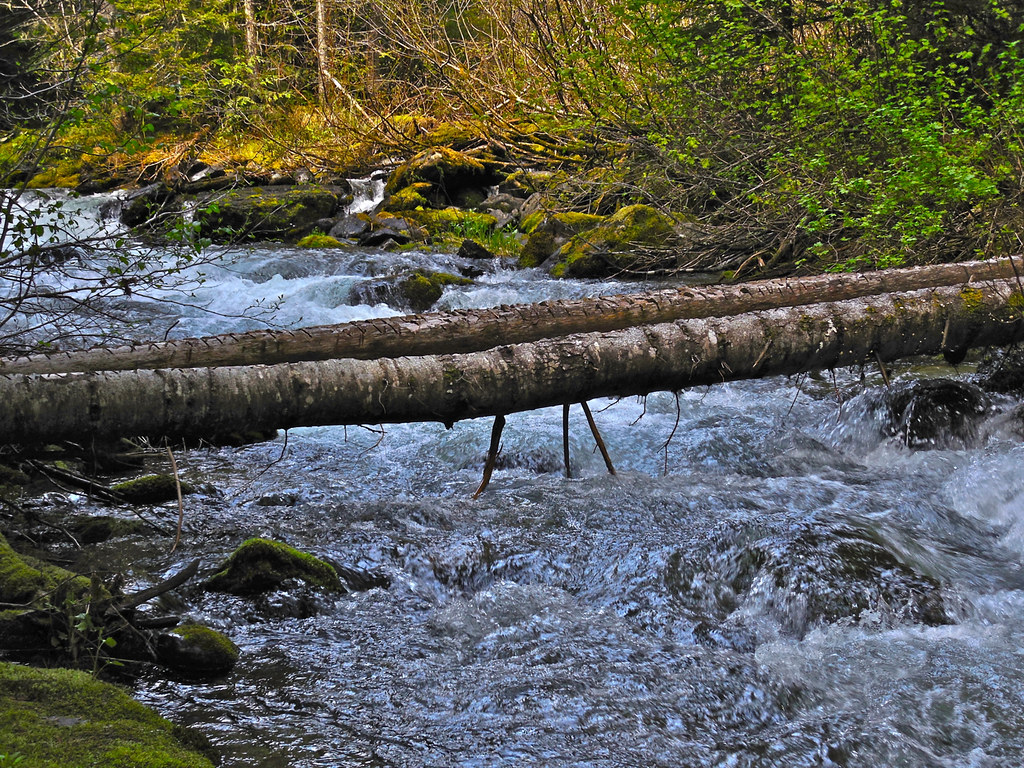
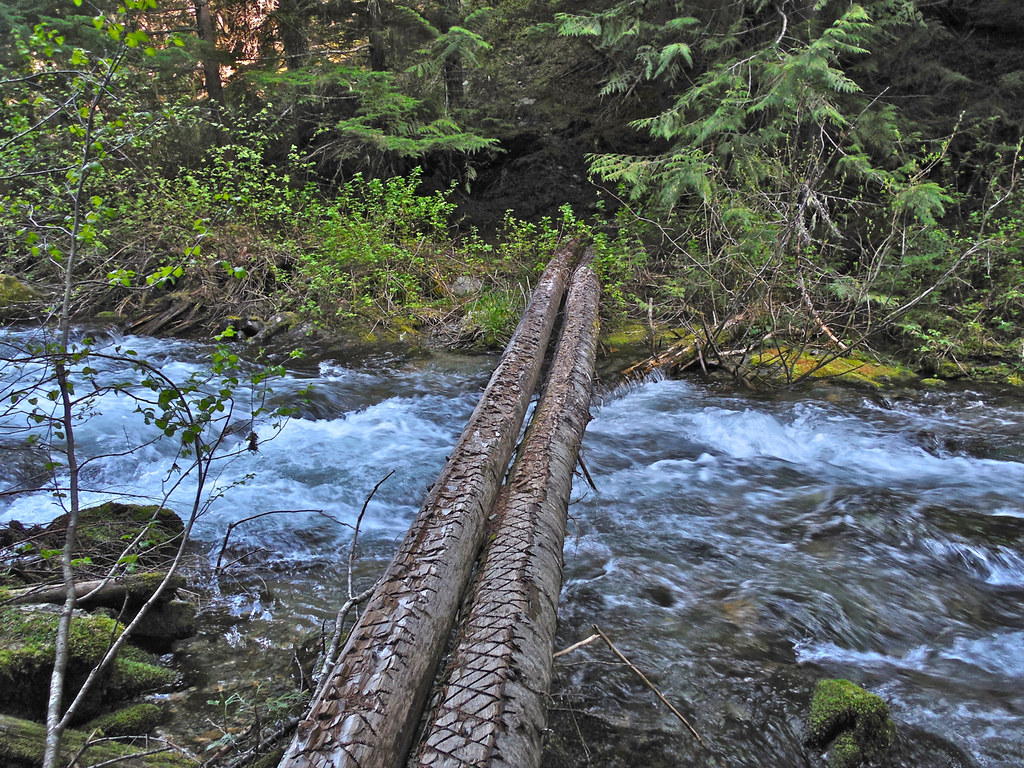
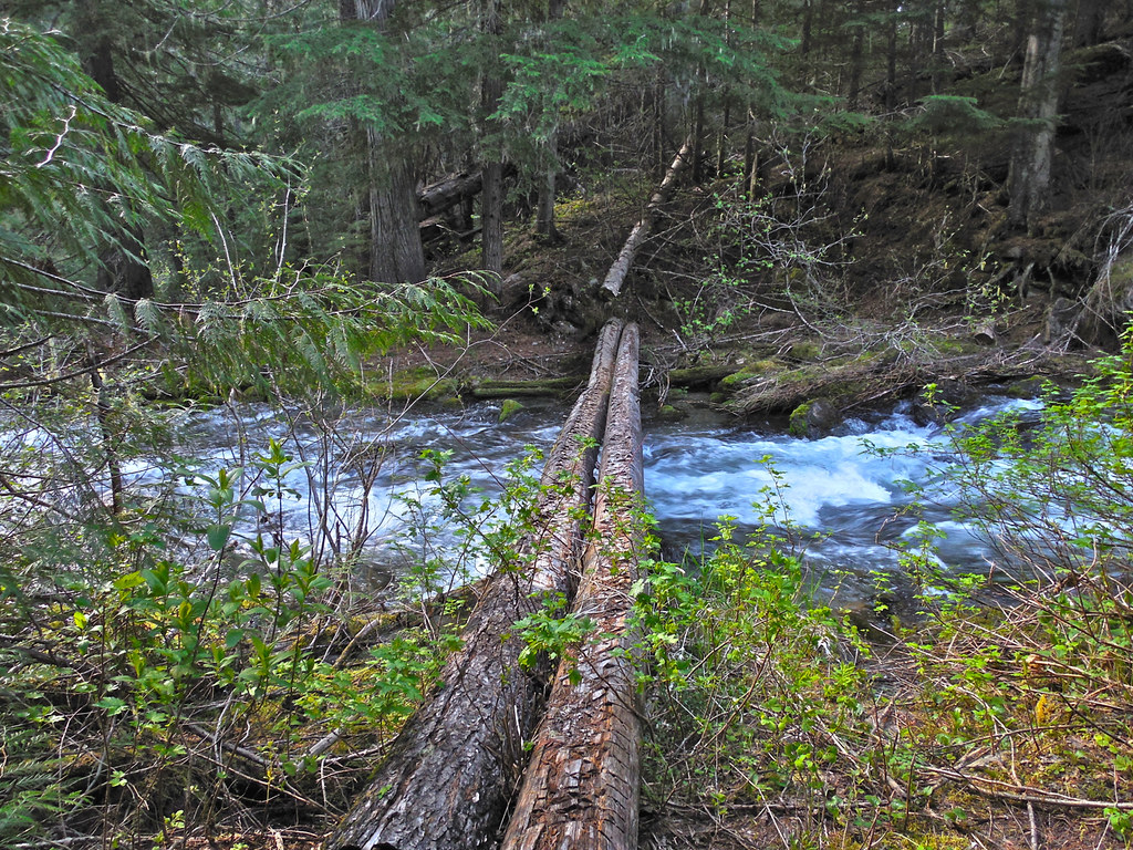
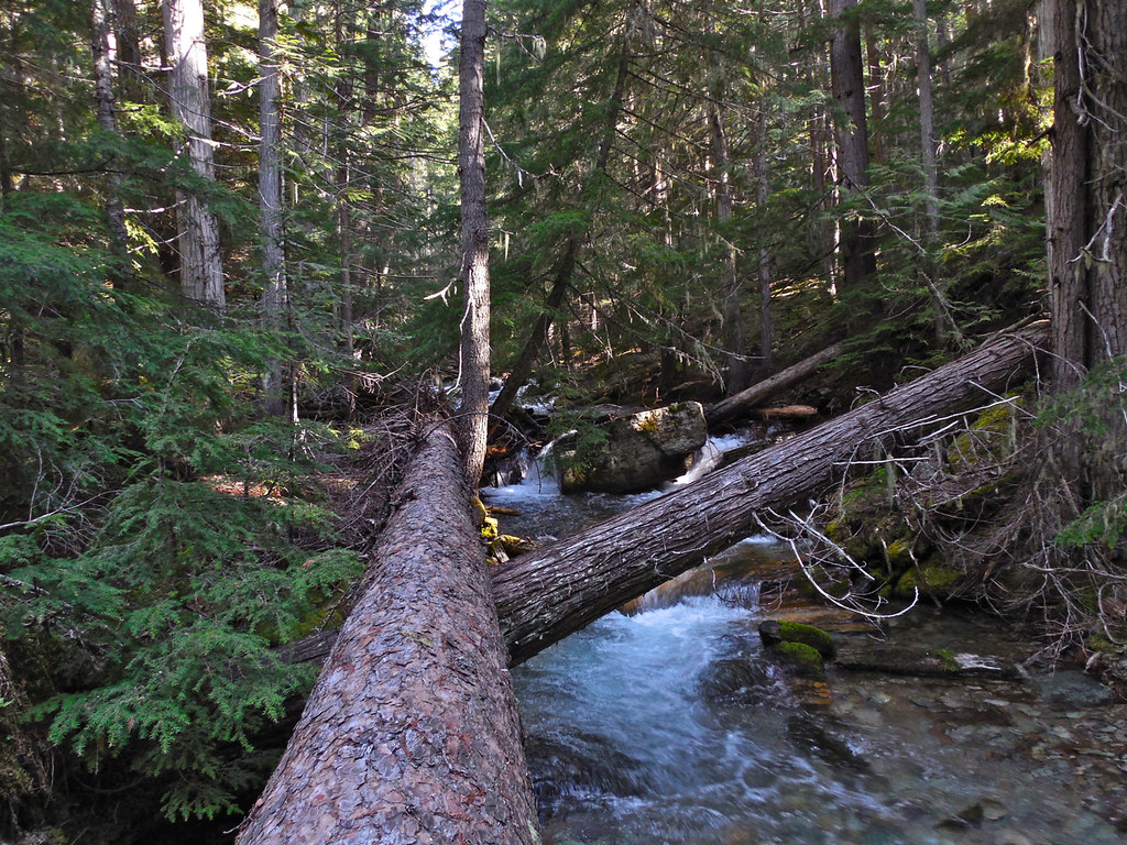
First crossing; two birch trees:
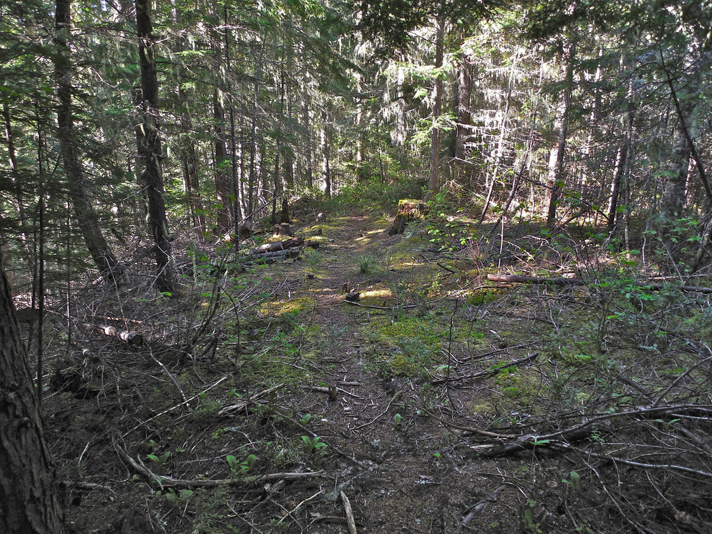
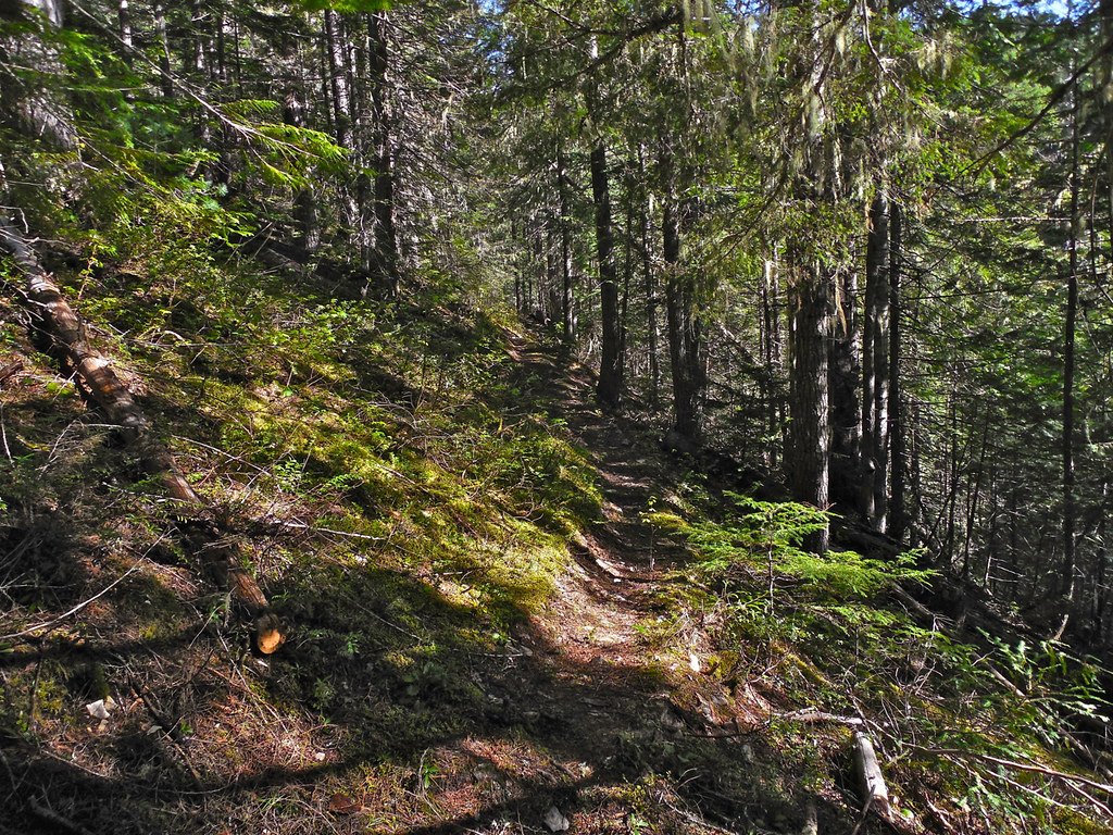
Trail:
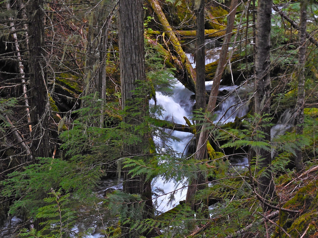
Second crossing: one big pine
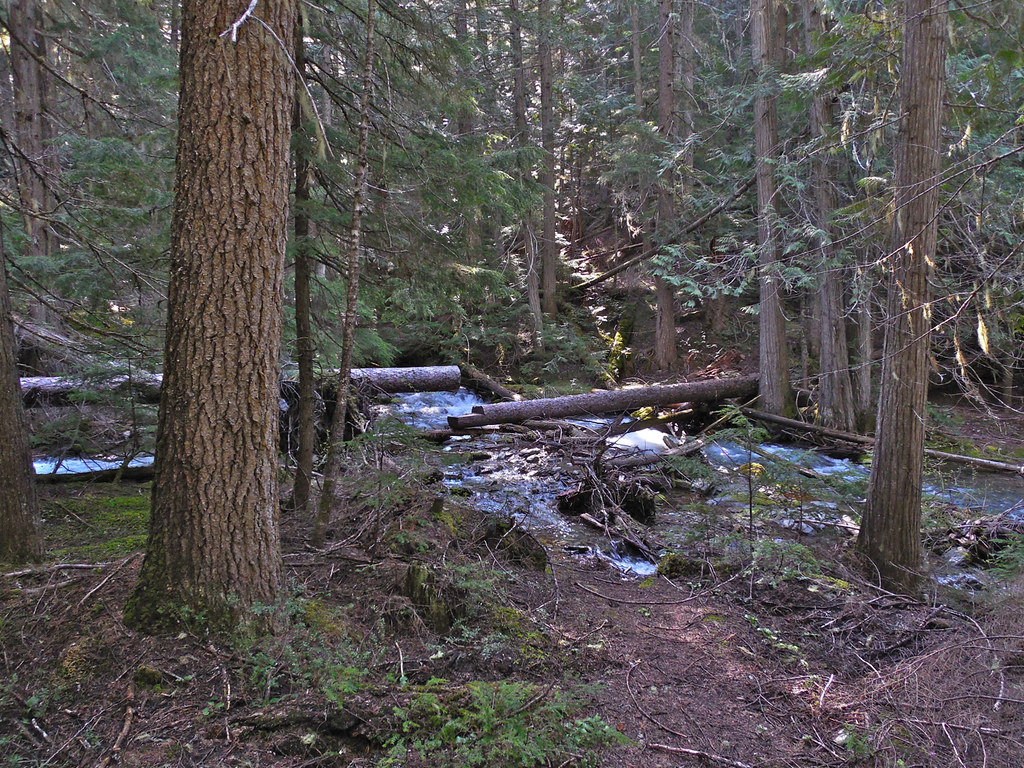
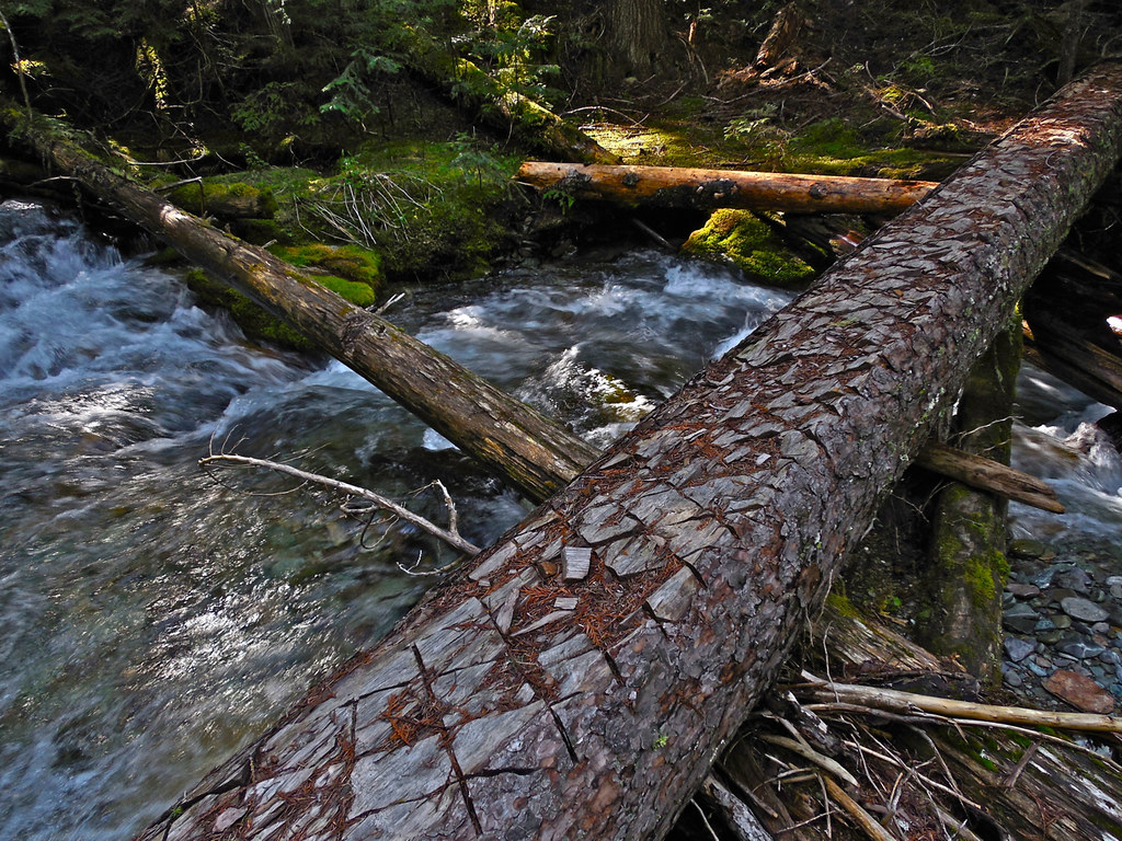
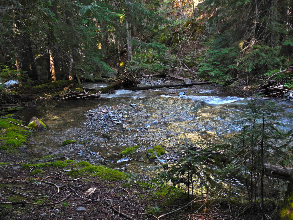
Third crossing: a ford (the trail on the other side looks a bit rough!)
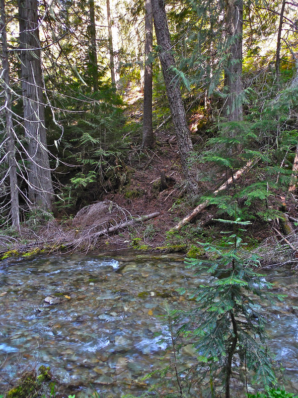
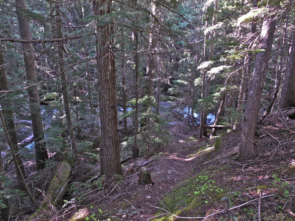
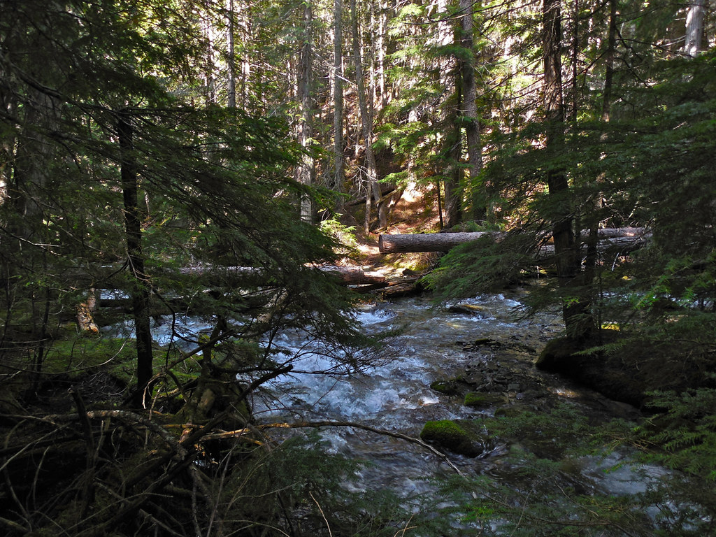
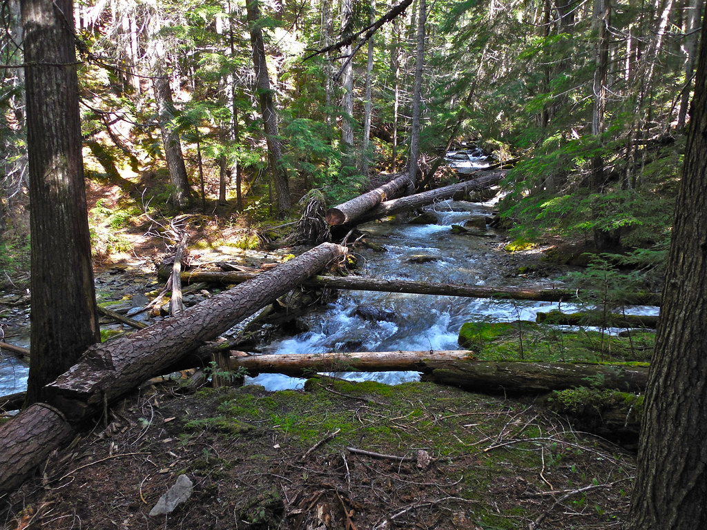
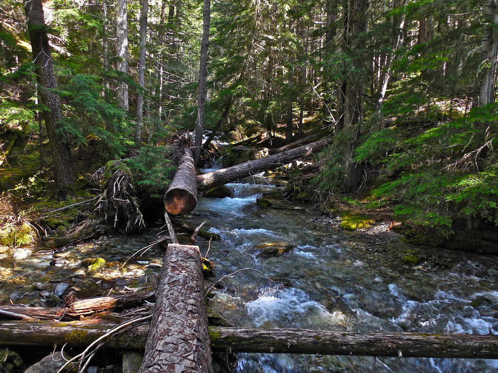
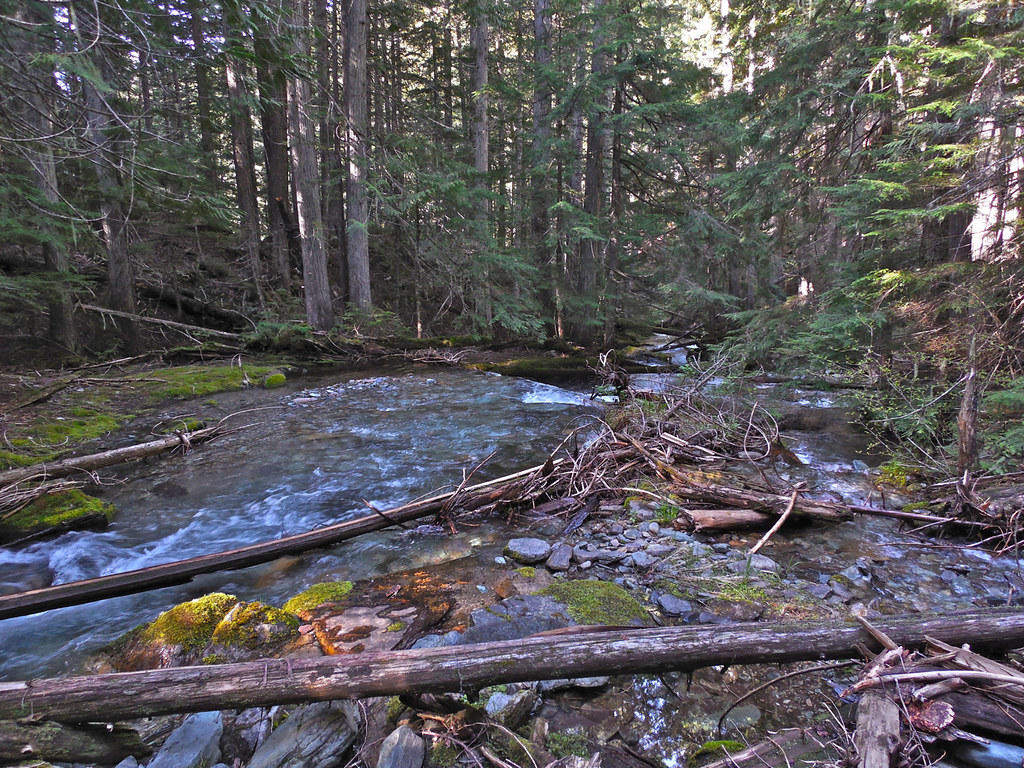
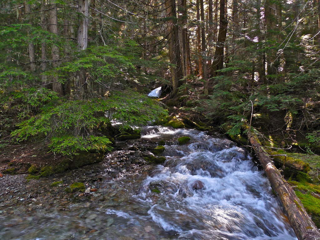
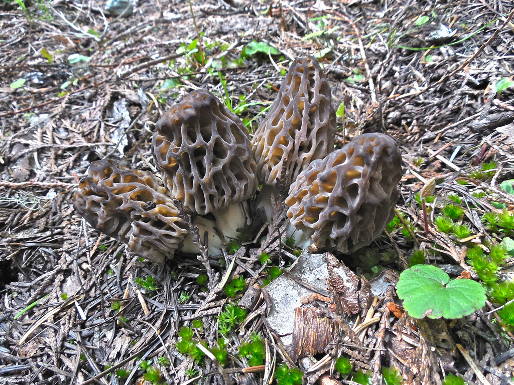
Along the trail:

RSS feed for comments on this post. TrackBack URI

Plenty of opportunities to fall in the creek, trip over a tree or turn one’s ankle. Trails like that take work.
LikeLike
Comment by Malcolm R. Campbell — May 21, 2015 @ 10:27 pm
They sure do, but usually they are worth it. I’ll bet this one is: will know later in the summer.
LikeLike
Comment by montucky — June 1, 2015 @ 8:41 pm
Looks like a great place for an adventure. Love the shot of the Morels!
LikeLike
Comment by centralohionature — May 22, 2015 @ 2:34 am
I’m really looking forward to that adventure a little later. The morels were a pleasant bonus!
LikeLike
Comment by montucky — June 1, 2015 @ 8:42 pm
THE ONLY PATH!!!!
nice!!!!or
NICE!!!!!!
LikeLike
Comment by elyaslinley — May 22, 2015 @ 3:11 am
That’s some serious back country for sure but seeing that orchid must have made it worthwhile.
I’m surprised by how much that particular area looks like the forest we have here.
Can you make it to the peak in one day, or will there be camping involved?
LikeLike
Comment by New Hampshire Garden Solutions — May 22, 2015 @ 3:32 am
I bet there were several hundred of those orchids along just the little part of the trail that I hiked.
I don’t know what the rest of the trail will be like. If it is good (and cleared, and free of snow) I could make it in a day, but not knowing, I’ll plan to spend a night in the area of the peak and return the next day.
LikeLike
Comment by montucky — June 1, 2015 @ 8:46 pm
The fungi is really interesting! I haven’t seen anything like it here yet. The streams over mossy rocks are beautiful. That’s one of the biggest differences between where you and I hike. Most of my long walks involve dry eucalyptus bushland. The rainforests are often mossy and green but the creeks and waterfalls often only flow strongly after heavy rain. The beautiful Tasmanian wilderness forests south do have many more creeks and rivers flowing permanently through them though.
LikeLike
Comment by Jane — May 22, 2015 @ 5:18 am
Those morel mushrooms are delicious. They grow in large numbers in an area of a large forest fire, the summer after, and hundreds of people from all over come to harvest them. A few years ago I brought back a fairly large bag after a hike and by prices I saw on the internet, I had over $600 worth.
I would just love to see those Tasmanian wilderness forests! The streams in our forests flow all year, heavy in the spring and lower amounts by late summer, drawing on water from the melt of huge amounts of snow in the higher elevations.
LikeLiked by 1 person
Comment by montucky — June 1, 2015 @ 9:09 pm
The photos are so sparkling that I can almost smell the forest looking at them.
LikeLike
Comment by Jessica — May 22, 2015 @ 6:30 am
I think that’s because of the very clear air there. It’s a long way from civilization and there is no pollution at all.
LikeLike
Comment by montucky — June 1, 2015 @ 9:14 pm
The cross-hatching on the birch logs is interesting. I’ve not see that before, but it’s clearly would be an aid to keeping your footing. Your arrangement of photos was perfect, too. Both the flower and the morels were complete surprises, just as they would be on the trail. Even on the other side of the ford, the trail’s discernible. How long that continues is a question, I suppose, but we’ll have you to give us an answer later in the year.
LikeLike
Comment by shoreacres — May 22, 2015 @ 8:17 am
Those cross cuts really do help. On the first crossing with the two logs, they were quite flexible and it was interesting to have a bit of bounce in the middle. I’m really looking forward to following that trail to its end, but it may be another month before I’m able to do it. By that time there should not be a snow problem. The morels were a very pleasant surprise. They were delicious!
LikeLike
Comment by montucky — June 1, 2015 @ 9:25 pm
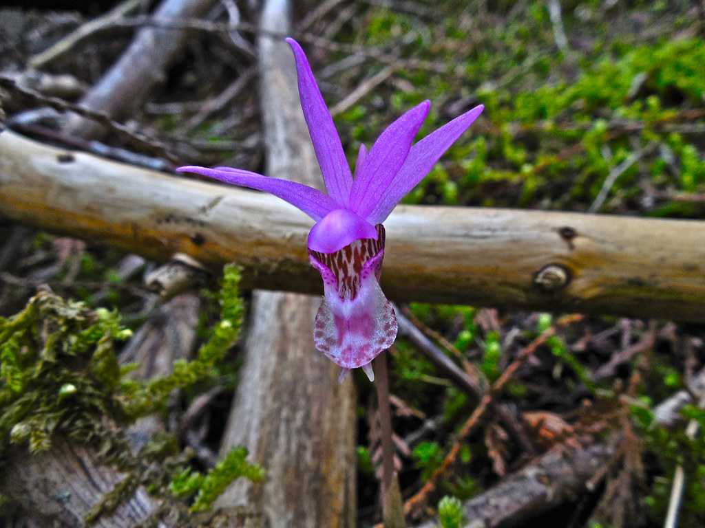
Fantastic! What a lovely trail, and the flower (pleione?) is gorgeous.
LikeLike
Comment by Jo Woolf — May 22, 2015 @ 9:48 am
The flower is the Fairyslipper (Calypso Bulbosa), and they were there in abundance, probably because that area has not had any traffic for quite a few years.
LikeLiked by 1 person
Comment by montucky — June 1, 2015 @ 9:28 pm
Did you bring the morelles home for your supper? They are so good! Loved the orchid too, but of course I wouldn’t pick that. I see that the logs for crossing the creeks have been “scored” to keep them from getting too slippery. All except the single one near the end of your collection. That one looks a bit slick. Beautiful country!
LikeLike
Comment by wordsfromanneli — May 22, 2015 @ 10:14 am
Yes, the morels were a nice addition to about three meals. They were at their peak and I brought back a bag of them.
The log crossings were a little primitive, but they were actually made to be used by fire fighters and not so much for the general public. I found them very beneficial and was grateful for them!
LikeLiked by 1 person
Comment by montucky — June 1, 2015 @ 9:30 pm
Great trail by the looks of it! Love the colourful orchid in that vast ocean of green.
LikeLike
Comment by iAMsafari.com — May 22, 2015 @ 7:17 pm
It will also be interesting to see what the wildlife situation is there. That is in Grizzly territory and with the lack of human activity, it might be possible to see one there. I saw what I thought might have been a Black Bear den.
LikeLike
Comment by montucky — June 1, 2015 @ 9:33 pm
Hi Montucky, Really lovely trail! I am glad you got to hike as far as you did. I hope you get to finish the trail later in the Summer. Great picture of that Orchid. Have a wonderful weekend!
LikeLike
Comment by wildlifewatcher — May 22, 2015 @ 8:42 pm
Yes, I’m anxious to finish the trail. That will be a trip from which I’ll bring back a couple hundred photos.
LikeLike
Comment by montucky — June 1, 2015 @ 9:34 pm
You must be very agile! I’d be too chicken to try either of those 2 crossings, especially with camera in hand. I walk a lot but I’m pretty cautious carrying my camera equipment. But you get the reward of seeing these unspoiled, remote areas.
LikeLike
Comment by Candace — May 22, 2015 @ 9:18 pm
The first crossing was interesting because the birch trees were fairly small and had a bounce in them, but the crossing was very welcome. The stream there would have been very difficult to wade. I’m quite used to that kind of crossing though: there are much worse! On that trip I tool only a small camera so the risk was less (and it only weighs half a pound instead of the 4 pounds of the big one.
LikeLike
Comment by montucky — June 1, 2015 @ 9:37 pm
Looks like a beautiful hike for sure. Would trade being under that canopy for the heat and humidity already building up down here. It always looks so peaceful, but then when you have already experienced places like this you can remember the feelings and sounds from being there. Definitely looks like a great trip!
LikeLike
Comment by Ron Mangels — May 23, 2015 @ 6:17 am
I think you’d enjoy that trail, Ron. I don’t know what the rest of it is like, but I will by the end of summer.
LikeLike
Comment by montucky — June 1, 2015 @ 9:38 pm
I’d love to check out this trail sometime!
LikeLike
Comment by aarontheisen — May 23, 2015 @ 9:18 am
I’ll be on it later in the summer. I know it will be worth the hike when you get to the top end. Marmot Peak is only a mile or so from Mt. Headley and I’ve seen Marmot from Headley and also from Priscilla at the other end.
LikeLiked by 1 person
Comment by montucky — June 1, 2015 @ 9:40 pm
What a beautiful hike.
Thanks for sharing, Terry.
LikeLike
Comment by Vicki — May 23, 2015 @ 5:53 pm
Wish you could see it Vicki!
LikeLike
Comment by montucky — June 1, 2015 @ 9:43 pm
such a gorgeous place to walk
and you found morels
i love how there are so many different shades and markings on Fairy Slippers
LikeLike
Comment by Tammie — May 23, 2015 @ 6:17 pm
Fairy Slippers are fascinating little flowers. I found some white ones a few years ago too. I know I’ll spend more time in that area. It’s really a wild place.
LikeLike
Comment by montucky — June 1, 2015 @ 9:45 pm
A wonderful bit of time in the woods…The photos are so amazing.
LikeLike
Comment by Charlie@Seattle Trekker — May 23, 2015 @ 8:16 pm
It will be worthwhile to spend a lot more time in that area. It doesn’t have a wilderness designation, but in many ways it’s wilder than the wilderness areas that get a lot of traffic.
LikeLike
Comment by montucky — June 1, 2015 @ 9:47 pm
This is *my kind of place,* so very much. Beautiful photos, Terry. Can’t wait to see the images after you walk the entire trail to the peak.
LikeLike
Comment by seekraz — May 24, 2015 @ 1:46 pm
Yes, that is definitely your kind of place, Scott! I’m pretty sure the views from Marmot Peak will be spectacular, and who knows what may lie along that trail!
LikeLike
Comment by montucky — June 1, 2015 @ 9:48 pm
Very nice. Looks like a great place to explore with wonderful photo opportunities!
LikeLike
Comment by Reed Andariese — May 26, 2015 @ 5:07 pm
Yes, it looks as though the whole thing will be scenic, especially toward the top end.
LikeLike
Comment by montucky — June 1, 2015 @ 9:49 pm
Rugged area, but very interesting photos. Thank You.
LikeLike
Comment by Sartenada — May 27, 2015 @ 12:26 am
Yes, very rugged. Slow going, but it’s usually better that way. Next time I go there I’ll be carrying a lot more weight and spending a lot more time!
LikeLike
Comment by montucky — June 1, 2015 @ 9:50 pm
What a beautifully diverse set of images Terry !!
LikeLike
Comment by Bernie Kasper — June 1, 2015 @ 11:12 am
There will be a lot of diversity on that trail for sure. It starts at about 3600 feet and the top must be around 7400, so there will be evidence of different climates as you ascend.
LikeLike
Comment by montucky — June 1, 2015 @ 9:52 pm
Very cool hike. Excellent photo story of your journey. The streams look like they still have plenty of flow! Maybe the water will get lower and less intense later this summer so you can make the final crossing!
LikeLike
Comment by WildBill — June 1, 2015 @ 1:34 pm
I think the water will be a little lower later in the summer, but this time I just wasn’t equipped to for the stream. Next time I will be. The degree of difficulty for that trail will depend on how well they built the switchbacks toward the top where it gets very steep. I’m sure looking forward to it!
LikeLike
Comment by montucky — June 1, 2015 @ 9:55 pm
Like other commenters, I had the same sense of surprise upon seeing the orchid and then the morel mushrooms in the midst of all those forest scenes.
LikeLike
Comment by Steve Schwartzman — June 2, 2015 @ 5:10 am
Both the Fairyslipper and the morel like shade, and I think the seclusion of that trail made it a good place for both. It will be interesting to see what’s up the trail a few more miles!
LikeLike
Comment by montucky — June 2, 2015 @ 7:07 pm
Have you ever been up to the Bark Table Natural Research Area? Or to the Seven Peak Natural Research Area in the KNF, just above Vermillion Pass?
LikeLike
Comment by the wayfaring wind — February 15, 2017 @ 1:28 pm
I am not familiar with either of those, although I have hiked to the east from Vermilion Pass to Mount Headley and west to Graves Peak, Cougar Peak and Seven Point Mountain.
LikeLike
Comment by montucky — February 15, 2017 @ 2:00 pm
These may or may not interest you.
look at Figure 6.
Click to access fsbdev3_053884.pdf
Bark Table is one of the last stands of old growth in the Lolo TF/Plains district. You can get there by going up Sundance Ridge Look Out and hiking in.
Ferry Landing is basically a little down river from Donlan. It is encompassed in the Seigel Roadless Area…I believe.
—–
Kootenai
Seven Point Genetical: The area contains a viable stand of whitebark pine. This stand is an historic representation of the species for western Montana and northern Idaho. The site is used for collecting seed for a breeding program to determine genetic resistance of the species to white pine blister rust. It is not known if these trees contain any rust resistance, but they are alive and well, while many of the stands in the area have been killed by the rust. The stands are generally located above 5,800 feet elevation. This site is approximately 1,991 acres.
Click to access stelprdb5356892.pdf
Check out the red #4 near Trout Creek above Vermillion…this is the 7 Point Area…Marmot Lakes, etc. lay in this basin. It’s absolutely wonderful. You can zoom in on this map.
Click to access stelprd3826677.pdf
LikeLike
Comment by Anonymous — February 15, 2017 @ 5:56 pm
I’ve probably seen part of the Bark Table from the trail to Priscilla Peak and I’m a familiar with the Ferry Landing area. I have several photos of the Marmot Lakes taken from the trail on Seven Point Mountain. I made that hike but neglected to make a blog post of that hike.
LikeLike
Comment by montucky — February 15, 2017 @ 8:27 pm