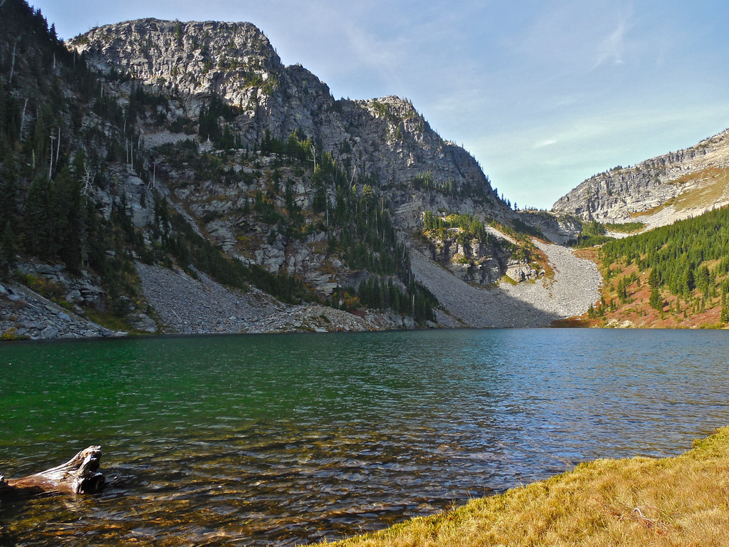
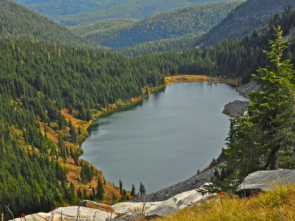
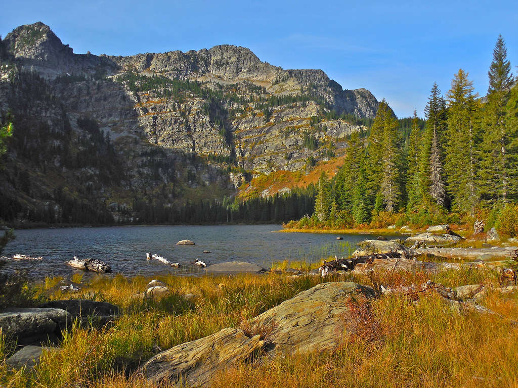
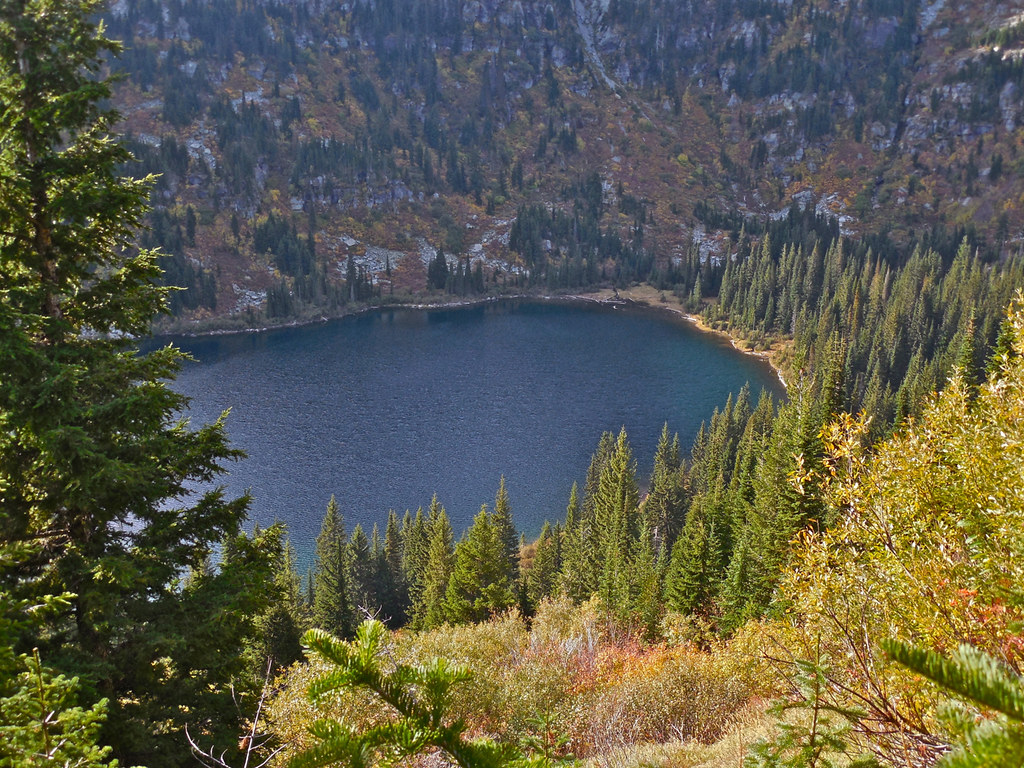
A mile or so and another 600 feet in elevation above Lower geiger Lake sits Upper Geiger Lake. To visit the lake itself you can take a short trail off 656 for about a half mile (the Wilderness map calls it trail # 48 but there’s no sign for it so I wonder why they bothered numbering it). There is a sign at the junction with an arrow pointing toward the lake. It’s well worth the short side trip.
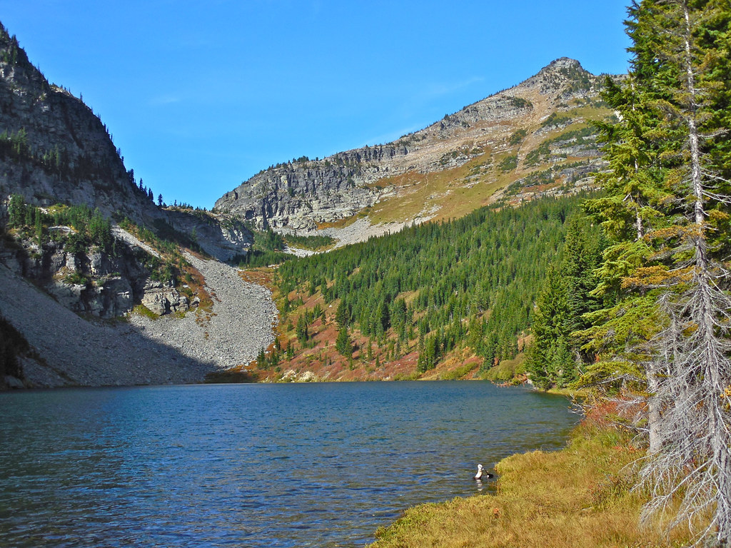
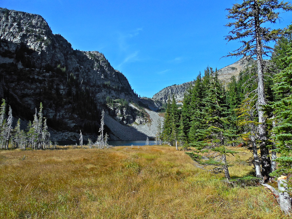
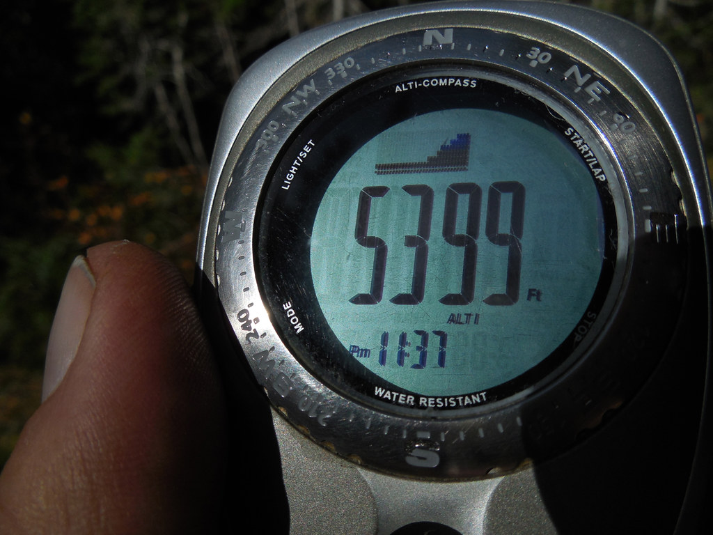
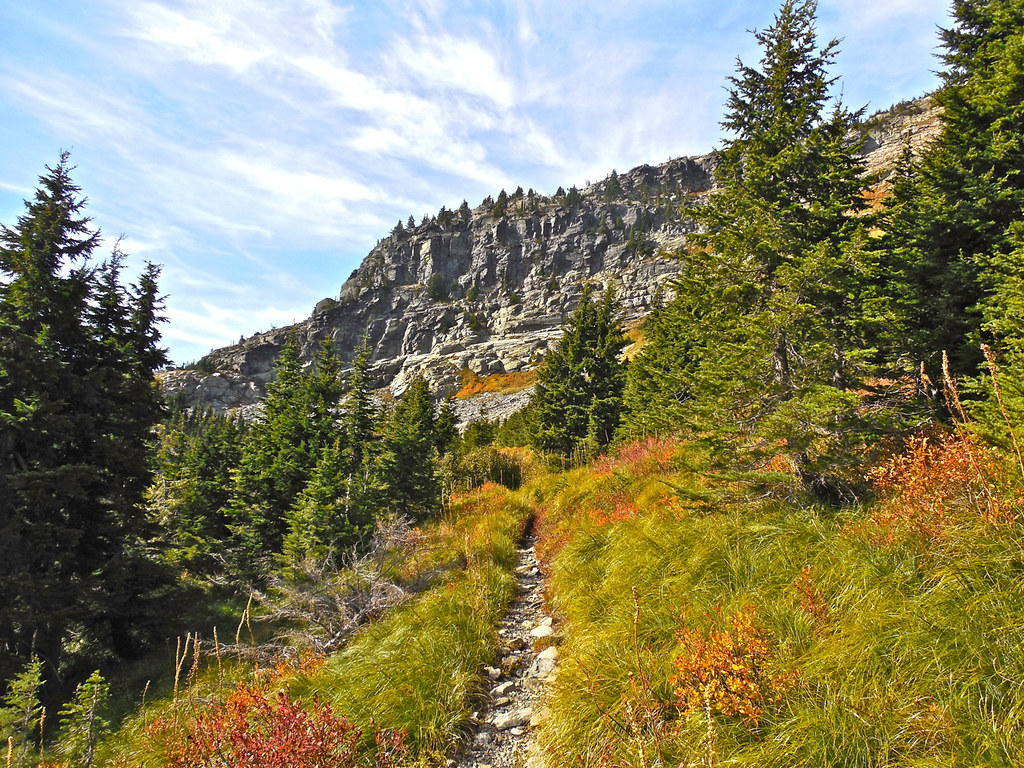
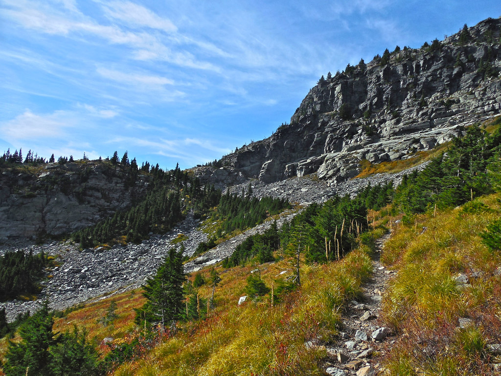
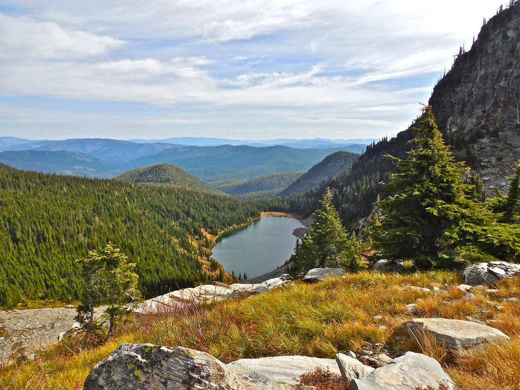
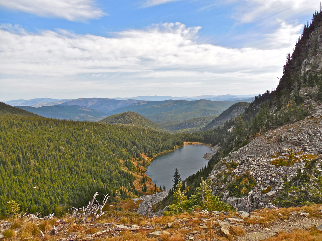
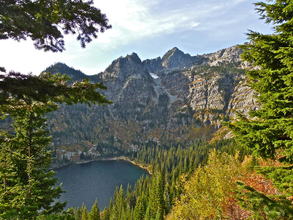
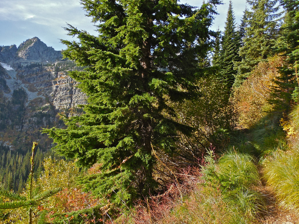
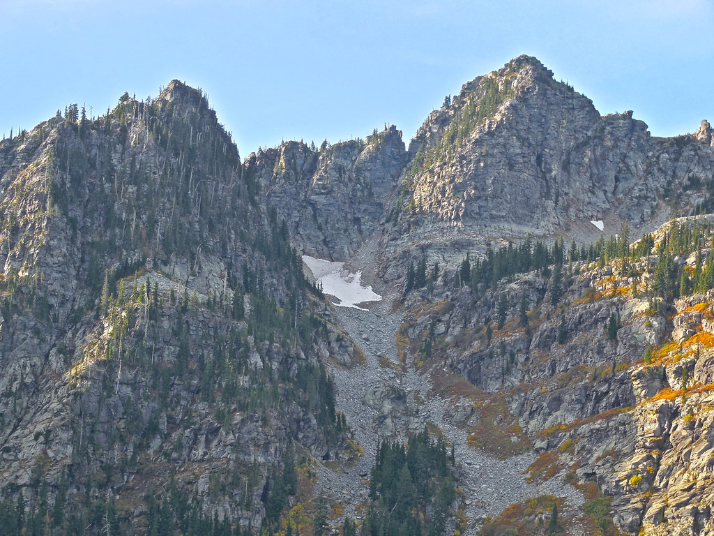
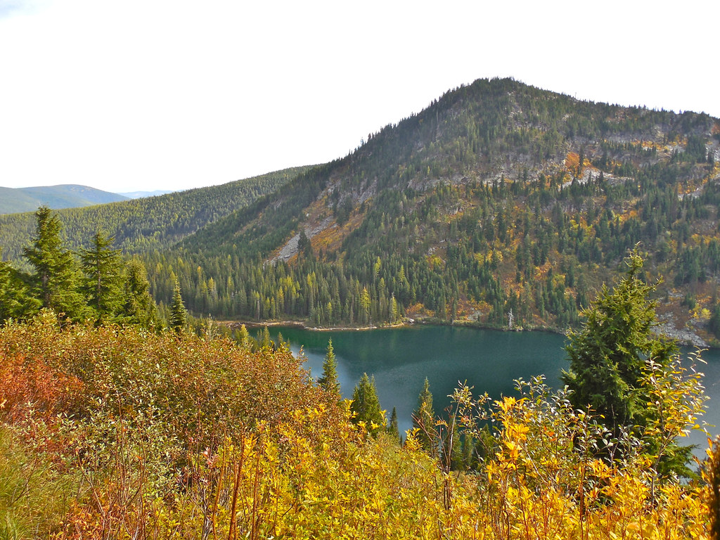
Upper Geiger is smaller than the lower lake, but lots of folks get tired by the time they reach the lower one and so Upper Geiger receives far fewer visitors. You can tell by the signs of use on the trail. The gap that is visible in the cliffs and mountainside at the far end of the lake is Lost Buck Pass and the last three photos were taken from there.
Some time around the turn of the twentieth century near a pass in the southern part of the high mountain area in western Montana that is now known as the Cabinet Mountains Wilderness, a herder who was tending sheep was killed by lightning and a crew had to go up to gather the “bucks” and lost sheep. The pass was then named “Lost Buck Pass” and the photo in my last post was taken from there.
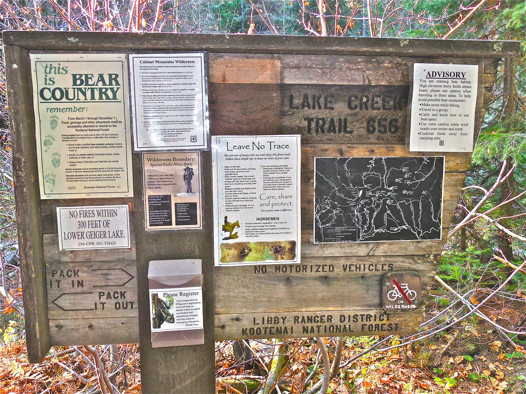
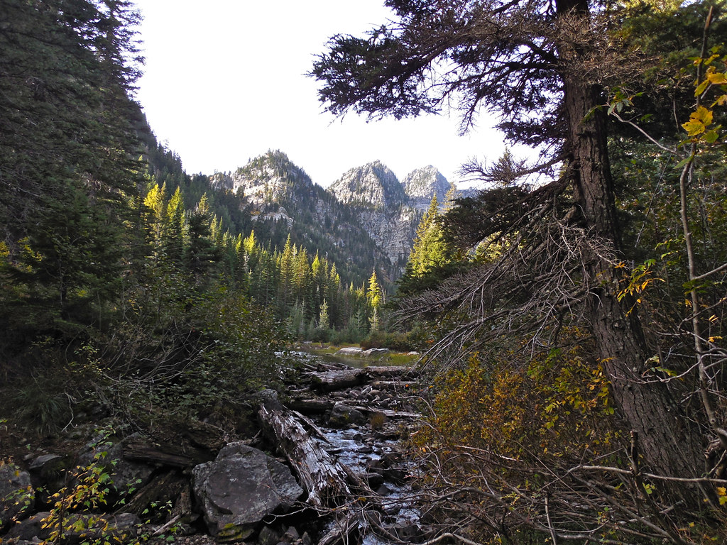
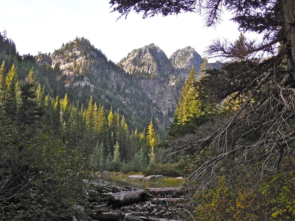
Today the area can be accessed on foot or horseback by several trails. The one we chose for our trip on October fifth was trail 656. To get to the trail head, turn west off U.S. Highway 2 about 17 miles south of Libby, Montana onto West Fisher Creek Road (number 231), follow it approximately 6 miles and turn south onto Road 6748; proceed about 2 more miles to the trail head.
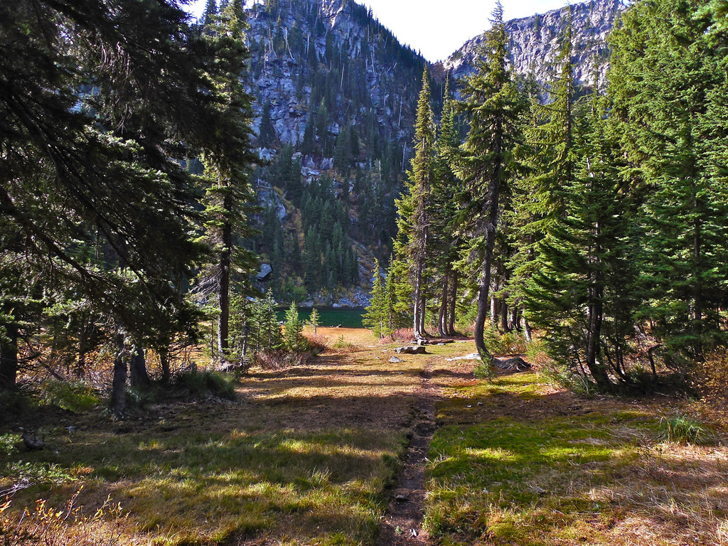
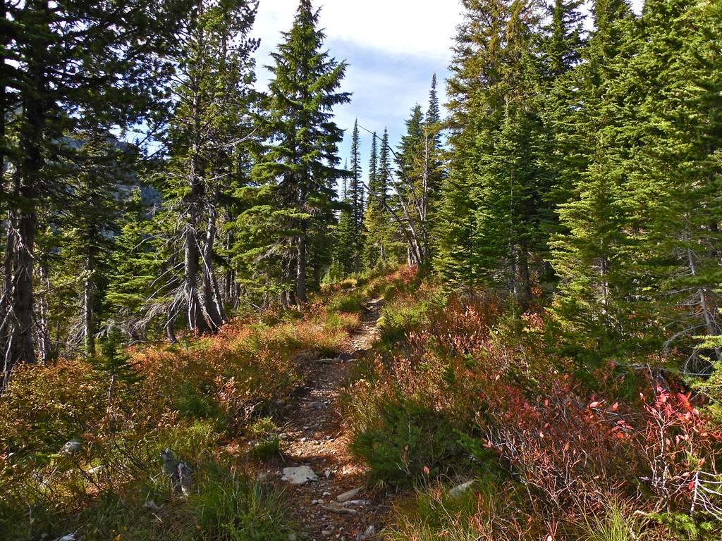
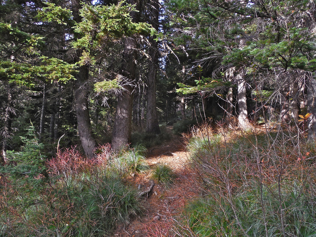
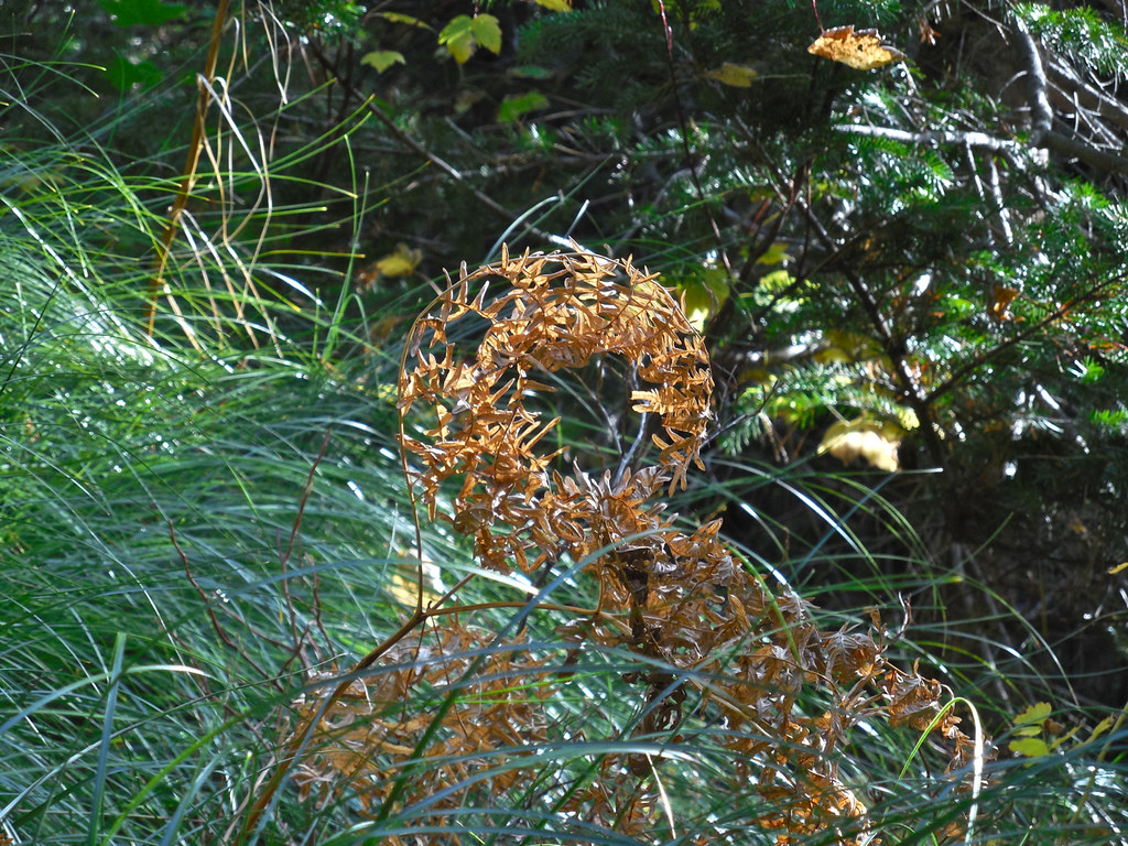
The trip from the trail head to Lost Buck pass can be roughly divided into three parts; the Lower Geiger Lake part, the Upper Geiger Lake part, and the Upper Geiger to Lost Buck Pass part. Following are some photos taken along the first of those which covers about two miles of trail and a thousand foot increase in altitude. It is a fairly easy trail and appears to get quite a few travelers. You do not enter the Wilderness until just before Lower Geiger Lake. (By the way, the lake was named after an old prospector named John Geiger who lived and prospected near and around the lake.)